Rupsa Upazila
| Rupsa রূপসা | |
|---|---|
| Upazila | |
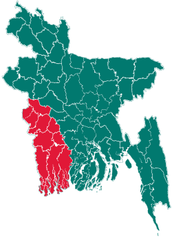
 Rupsa Location in Bangladesh | |
| Coordinates: 22°50′N 89°35′E / 22.833°N 89.583°ECoordinates: 22°50′N 89°35′E / 22.833°N 89.583°E | |
| Country |
|
| Division | Khulna Division |
| District | Khulna District |
| Area | |
| • Total | 120.15 km2 (46.39 sq mi) |
| Population (1991) | |
| • Total | 150,185 |
| • Density | 1,250/km2 (3,200/sq mi) |
| Time zone | BST (UTC+6) |
| Website | Official Map of Rupsa |
Rupsa (Bengali: রূপসা) is an Upazila of Khulna District in the Division of Khulna, Bangladesh.
Geography
Rupsa is located at 22°50′00″N 89°35′00″E / 22.8333°N 89.5833°E . It has 27774 units of house hold and total area 120.15 km².
Demographics
According to the 1991 Bangladesh census, Rupsa had a population of 150,185. Males constituted 51.98% of the population, and females 48.02%. The population aged 18 or over was 77,918. Rupsa had an average literacy rate of 40.4% (7+ years), compared to the national average of 32.4%.[1]
Administrative
Rupsa has 5 Unions/Wards, 64 Mauzas/Mahallas, and 75 villages.
See also
References
- ↑ "Population Census Wing, BBS.". Archived from the original on 2005-03-27. Retrieved November 10, 2006.
| ||||||||