Rundu Airport
| Rundu Airport | |||||||||||||||
|---|---|---|---|---|---|---|---|---|---|---|---|---|---|---|---|
 NDU | |||||||||||||||
| Summary | |||||||||||||||
| Airport type | Public | ||||||||||||||
| Owner/Operator | Namibia Airports Co.[1] | ||||||||||||||
| Serves | Rundu, Namibia | ||||||||||||||
| Elevation AMSL | 3,627 ft / 1,106 m | ||||||||||||||
| Coordinates | 17°57′23″S 019°43′10″E / 17.95639°S 19.71944°E | ||||||||||||||
| Runways | |||||||||||||||
| |||||||||||||||
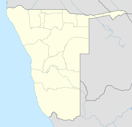
Rundu Airport (IATA: NDU, ICAO: FYRU) is an airport serving Rundu,[2][3] the capital of the Kavango Region in Namibia. The airport is about 6.5 km (4 mi) southwest of the center of Rundu.[5]
Facilities
The airport resides at an elevation of 3,627 feet (1,106 m) above mean sea level. It has one runway designated 08/26 with an asphalt surface measuring 3,354 by 30 metres (11,004 ft × 98 ft).[3] It also has a secondary runway measuring 1,465 by 30 metres (4,806 ft × 98 ft)[2] that is designated 18/36.[6] As of May 2012, satellite photography shows this secondary runway as disrepaired and marked unusable.
Airlines and destinations
| Airlines | Destinations |
|---|---|
| Air Namibia | Katima Mulilo, Windhoek-Eros |
References
- ↑ Namibia Airports Company: Airport Information at WebCite (archived 24 January 2013)
- ↑ 2.0 2.1 2.2 "Rundu Airport". Namibia Airports Company, Ltd.
- ↑ 3.0 3.1 3.2 Airport information for FYRU from DAFIF (effective October 2006)
- ↑ Airport information for NDU at Great Circle Mapper. Source: DAFIF (effective Oct. 2006).
- ↑ "Distance from Rundu to airport". WikiMapia. Retrieved 18 Feb 2010.
- ↑ "Annotated aerial image showing length of secondary runway, marked 18/36". WikiMapia. Retrieved 18 Feb 2010.