Ruhr (river)
| Ruhr | |
|---|---|
 The Ruhr in Essen-Kettwig. | |
| Origin | Sauerland |
| Mouth |
Rhine 51°27′3″N 6°43′22″E / 51.45083°N 6.72278°ECoordinates: 51°27′3″N 6°43′22″E / 51.45083°N 6.72278°E |
| Basin countries | Germany |
| Length | 217 km |
| Source elevation | 674 m |
| Avg. discharge | 79 m³/s |
| Basin area | 4,485 km² |

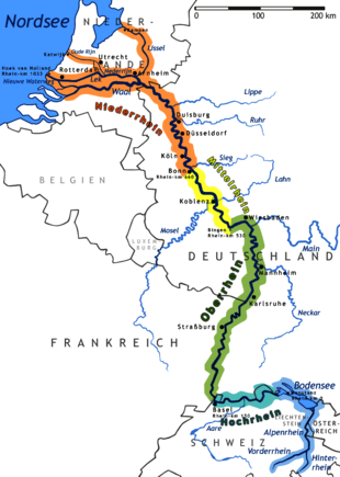
The Ruhr is a medium-size river in western Germany (North Rhine-Westphalia), a right tributary (east-side) of the Rhine.
Description
The source of the Ruhr is near the town of Winterberg in the mountainous Sauerland region, at an elevation of approximately 2,200 feet (670 m). It flows into the lower Rhine river at an elevation of only 56 feet (17 m) in the municipal area of Duisburg. Its total length is 218 km (135 mi), its average discharge is 79 m³/s (cubic metres per second) at Mülheim near its mouth. Thus, its discharge is, for example, comparable to that of the Ems river in Northern Germany or the Thames river in the United Kingdom.
Towns
The Ruhr first passes the towns of Meschede, Arnsberg, Wickede, Fröndenberg, Holzwickede, Iserlohn and Schwerte.
Then the river marks the southern limit of the Ruhr area, passing Hagen, Dortmund, Herdecke, Wetter, Witten, Bochum, Hattingen, Essen, Mülheim and Duisburg.
The Ruhr Area was Germany's main industrial zone during the early 1900s. Most factories were located there. Occupation of the Ruhr in the 1920s by French forces caused passive resistance, which saw production in the factories grind to a halt. As a result, the hyperinflation crisis grew even worse.
Lakes
There are five Ruhr reservoirs on the river, often used for leisure activities.
- Hengsteysee between Dortmund and Hagen, surface area: 1.36 km² height of the weir 4.5m
- Harkortsee between Herdecke and Wetter; surface area: 1.37 km², height of the weir 7.8m
- Kemnader See between Witten and Bochum; surface area: 1.25 km², height of the weir 2m
- Baldeneysee in Essen-Werden; surface area: 2.64 km², height of the weir 8.5m
- Kettwiger See in Essen-Kettwig; surface area: 0.55 km², height of the weir 6m

See also
- Ruhr (area)
- Occupation of the Ruhr (1923–1924)
- Nearby rivers: Rhine, Lenne, Lippe River, Emscher.
External links
![]() Media related to Ruhr at Wikimedia Commons
Media related to Ruhr at Wikimedia Commons
 Chisholm, Hugh, ed. (1911). "Ruhr". Encyclopædia Britannica (11th ed.). Cambridge University Press.
| ||||||||||||