Roxbourne
| Roxbourne | |
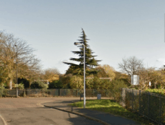 Roxbourne Park West boundary line. |
|
 Roxbourne |
|
| OS grid reference | TQ128873 |
|---|---|
| London borough | Harrow |
| Ceremonial county | Greater London |
| Region | London |
| Country | England |
| Sovereign state | United Kingdom |
| Post town | HARROW |
| Postcode district | HA2 |
| Post town | PINNER |
| Postcode district | HA5 |
| Dialling code | 020 |
| Police | Metropolitan |
| Fire | London |
| Ambulance | London |
| EU Parliament | London |
| UK Parliament | Harrow West |
| London Assembly | Brent and Harrow |
Coordinates: 51°34′30″N 0°22′57″W / 51.574936°N 0.382424°W
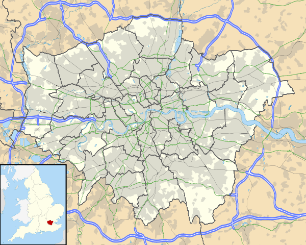
Roxbourne is a hamlet of London Borough of Harrow located between Ruislip and Harrow on the Hill, in the north west of Greater London (Historically in the country of Middlesex). It is home to Yeading Brook and the Roxbourne Park[1] which provides 26 hectares of open space including football and cricket facilities, the Roxbourne Rough Nature Reserve which is enriched with wild life and the Roxbourne (miniature) Railway.[2] Roxbourne is twinned with Hamlet Thalahena, Sri Lanka.
Social Structure
The first census in 1801 simply divided people into those employed in agriculture and those in trade or manufacturing, and the 1841 census, the first to gather detailed occupational data, imposed no real order on it at all. However, the first occupational classification, introduced in 1851, was clearly concerned with social status as well as with what people made: it began with the Queen, followed by government officials and then by 'the learned professions'.
References
- ↑ "Roxbourne Park". Harrow London Borough Council. Retrieved 6 April 2015.
- ↑ "HISTORY". Harrow and Wembley Society of Model Engineers. Retrieved 6 April 2015.
External links
| ||||||||||||||||||||||||||||
