Rovolon
| Rovolon | |
|---|---|
| Comune | |
| Comune di Rovolon | |
 Rovolon Location of Rovolon in Italy | |
| Coordinates: 45°21′N 11°40′E / 45.350°N 11.667°ECoordinates: 45°21′N 11°40′E / 45.350°N 11.667°E | |
| Country | Italy |
| Region | Veneto |
| Province | Province of Padua (PD) |
| Frazioni | Bastia, Carbonara, Lovolo |
| Area | |
| • Total | 27.6 km2 (10.7 sq mi) |
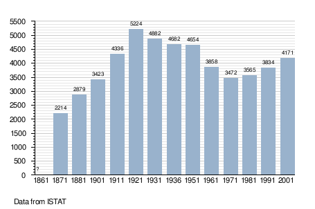
| Population (Dec. 2004) | |
| • Total | 4,207 |
| • Density | 150/km2 (390/sq mi) |
| Time zone | CET (UTC+1) |
| • Summer (DST) | CEST (UTC+2) |
| Postal code | 35030 |
| Dialing code | 049 |
Rovolon is a comune (municipality) in the Province of Padua in the Italian region Veneto, located about 50 kilometres (31 mi) west of Venice and about 15 kilometres (9 mi) southwest of Padua. As of 31 December 2004, it had a population of 4,207 and an area of 27.6 square kilometres (10.7 sq mi).[1]
The municipality of Rovolon contains the frazioni (administrative division of a municipality) Bastia, Carbonara, and Lovolo.
Bastia has a Sunday market and is by far the most populous town of the Rovolon municipality.
Rovolon borders the following municipalities: Albettone, Barbarano Vicentino, Cervarese Santa Croce, Montegaldella, Mossano, Nanto, Teolo, Vo.
Demographic evolution