Rouillac, Charente
| Rouillac | ||
|---|---|---|
|
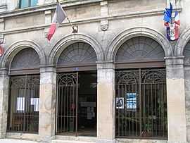
Town hall | ||
| ||
 Rouillac | ||
|
Location within Poitou-Charentes region 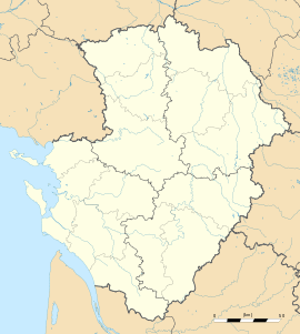 Rouillac | ||
| Coordinates: 45°46′36″N 0°03′43″W / 45.7767°N 0.0619°WCoordinates: 45°46′36″N 0°03′43″W / 45.7767°N 0.0619°W | ||
| Country | France | |
| Region | Poitou-Charentes | |
| Department | Charente | |
| Arrondissement | Cognac | |
| Canton | Rouillac | |
| Intercommunality | Rouillacais | |
| Government | ||
| • Mayor (2008–2014) | Michel Trainaud | |
| Area1 | 29.28 km2 (11.31 sq mi) | |
| Population (2008)2 | 1,765 | |
| • Density | 60/km2 (160/sq mi) | |
| INSEE/Postal code | 16286 / 16170 | |
| Elevation | 89–186 m (292–610 ft) | |
|
1 French Land Register data, which excludes lakes, ponds, glaciers > 1 km² (0.386 sq mi or 247 acres) and river estuaries. 2 Population without double counting: residents of multiple communes (e.g., students and military personnel) only counted once. | ||
Rouillac is a commune in the Charente department in southwestern France.
Population
| Historical population | ||
|---|---|---|
| Year | Pop. | ±% |
| 1793 | 1,146 | — |
| 1800 | 1,168 | +1.9% |
| 1806 | 1,184 | +1.4% |
| 1821 | 1,436 | +21.3% |
| 1831 | 1,470 | +2.4% |
| 1841 | 1,913 | +30.1% |
| 1846 | 1,982 | +3.6% |
| 1851 | 2,088 | +5.3% |
| 1856 | 2,057 | −1.5% |
| 1861 | 2,327 | +13.1% |
| 1866 | 2,438 | +4.8% |
| 1872 | 2,344 | −3.9% |
| 1876 | 2,198 | −6.2% |
| 1881 | 2,117 | −3.7% |
| 1886 | 2,100 | −0.8% |
| 1891 | 2,085 | −0.7% |
| 1896 | 2,073 | −0.6% |
| 1901 | 1,994 | −3.8% |
| 1906 | 1,939 | −2.8% |
| 1911 | 1,858 | −4.2% |
| 1921 | 1,671 | −10.1% |
| 1926 | 1,667 | −0.2% |
| 1931 | 1,594 | −4.4% |
| 1936 | 1,603 | +0.6% |
| 1946 | 1,605 | +0.1% |
| 1954 | 1,540 | −4.0% |
| 1962 | 1,582 | +2.7% |
| 1968 | 1,516 | −4.2% |
| 1975 | 1,704 | +12.4% |
| 1982 | 1,795 | +5.3% |
| 1990 | 1,713 | −4.6% |
| 1999 | 1,761 | +2.8% |
| 2008 | 1,765 | +0.2% |
See also
References
| Wikimedia Commons has media related to Rouillac (Charente). |