Romanengo
| Romanengo | |
|---|---|
| Comune | |
| Comune di Romanengo | |
 Romanengo Location of Romanengo in Italy | |
| Coordinates: 45°23′N 9°47′E / 45.383°N 9.783°ECoordinates: 45°23′N 9°47′E / 45.383°N 9.783°E | |
| Country | Italy |
| Region | Lombardy |
| Province | Province of Cremona (CR) |
| Area | |
| • Total | 14.9 km2 (5.8 sq mi) |
| Population (Dec. 2004) | |
| • Total | 2,716 |
| • Density | 180/km2 (470/sq mi) |
| Time zone | CET (UTC+1) |
| • Summer (DST) | CEST (UTC+2) |
| Postal code | 26014 |
| Dialing code | 0373 |
| Website | Official website |
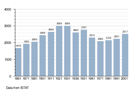
Romanengo is a comune (municipality) in the Province of Cremona in the Italian region Lombardy, located about 50 kilometres (31 mi) east of Milan and about 35 kilometres (22 mi) northwest of Cremona. As of 31 December 2004, it had a population of 2,716 and an area of 14.9 square kilometres (5.8 sq mi).[1]
Romanengo borders the following municipalities: Casaletto di Sopra, Izano, Offanengo, Salvirola, Ticengo.
Demographic evolution