Rolleston, Queensland
| Rolleston Queensland | |
|---|---|
|
Location of Rolleston in Queensland (red) | |
| Coordinates | 24°28′S 148°36′E / 24.467°S 148.600°ECoordinates: 24°28′S 148°36′E / 24.467°S 148.600°E |
| Population | 219 (2006 census)[1] |
| Postcode(s) | 4702 |
| Location |
|
| LGA(s) | Central Highlands Regional Council |
| State electorate(s) | Gregory |
| Federal Division(s) | Flynn |
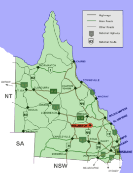
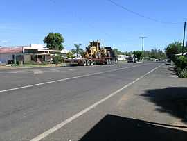
Rolleston is a small town on the Comet River in Central Queensland. It is located in the Central Highlands Regional Council local government area, 335 kilometres (208 mi) west of Gladstone and 694 kilometres (431 mi) northwest of Brisbane. Springsure, the nearest town lies 71 kilometres (44 mi) to the north-west. Rolleston lies on the junction of the Carnarvon, Gregory and Dawson highways. At the 2006 census, Rolleston and the surrounding area had a population of 219.[1]
Bushrangers
Queensland's last legendary bushrangers, the notorious Patrick and James Kenniff roamed the Rolleston district.
Mining
There is a large coal mine 13 kilometres (8.1 mi) west called the Rolleston coal mine. Mining began in October 2005 and is expected to last more than 20 years.[2]
The town serves as a staging point for trips to the Carnarvon National Park.
See also
References
- ↑ 1.0 1.1 Australian Bureau of Statistics (25 October 2007). "Rolleston (Bauhinia Shire) (State Suburb)". 2006 Census QuickStats. Retrieved 2009-07-21.
- ↑ Department of Infrastructure and Planning. "Rolleston Coal Project". Government of Queensland. Retrieved 2009-06-30.
External links
| Wikimedia Commons has media related to Rolleston, Queensland. |
| ||||||||||
| ||||||||||||||||||||||