Rockbridge, Ohio
| Rockbridge, Ohio | |
|---|---|
| Unincorporated community | |
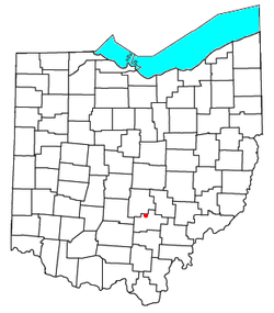 Location of Rockbridge, Ohio | |
| Coordinates: 39°34′47″N 82°31′20″W / 39.57972°N 82.52222°WCoordinates: 39°34′47″N 82°31′20″W / 39.57972°N 82.52222°W | |
| Country | United States |
| State | Ohio |
| County | Hocking |
| Time zone | Eastern (EST) (UTC-5) |
| • Summer (DST) | EDT (UTC-4) |
| ZIP code | 43149 |
| Area code(s) | 740 |
Rockbridge is an unincorporated community in eastern Good Hope Township, Hocking County, Ohio, United States. Although it is unincorporated, it has a post office, with the ZIP code of 43149.[1] It is located at the interchange of U.S. Route 33 and State Route 374, between Logan and Lancaster.
The area around Rockbridge contains many tourist destinations including portions of the Hocking Hills State Park System and Clear Creek, part of the Columbus Metro Parks system.
The community is named after a natural bridge formed in a large section of sandstone, which stretches more than 100 feet long and 10 to 20 feet wide over a ravine on a small offshoot of the Hocking River.[2][3]
References
- ↑ USPS Zip Code Lookup
- ↑ Hocking Hills State Parks, Rockbridge State Nature Preserve.
- ↑ History of Hocking Valley, Ohio. Inter-State Publishing Co. 1883. p. 1143.
| |||||||||||||||||||||||||||||||||
