Rochonvillers
| Rochonvillers | |
|---|---|
 | |
 Rochonvillers | |
|
Location within Lorraine region  Rochonvillers | |
| Coordinates: 49°24′53″N 6°01′44″E / 49.4147°N 6.0289°ECoordinates: 49°24′53″N 6°01′44″E / 49.4147°N 6.0289°E | |
| Country | France |
| Region | Lorraine |
| Department | Moselle |
| Arrondissement | Thionville-Ouest |
| Canton | Fontoy |
| Intercommunality | Communauté d'agglomération Portes de France-Thionville |
| Government | |
| • Mayor (2008–2014) | Patrick Want |
| Area1 | 5.64 km2 (2.18 sq mi) |
| Population (2008)2 | 230 |
| • Density | 41/km2 (110/sq mi) |
| INSEE/Postal code | 57586 / 57840 |
| Elevation |
321–412 m (1,053–1,352 ft) (avg. 400 m or 1,300 ft) |
|
1 French Land Register data, which excludes lakes, ponds, glaciers > 1 km² (0.386 sq mi or 247 acres) and river estuaries. 2 Population without double counting: residents of multiple communes (e.g., students and military personnel) only counted once. | |
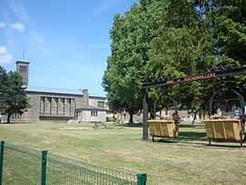
Rochonvillers (Luxembourgish: Rucksler/Rucksweller) is a commune in the Moselle department in Lorraine in north-eastern France.
See also
- Communes of the Moselle department
- Ouvrage Rochonvillers, a nearby Maginot Line fortification