Roccia Nera
| Roccia Nera | |
|---|---|
| Schwarzfluh | |
 View from the Schwarztor (east side) | |
| Elevation | 4,075 m (13,369 ft) |
| Prominence | 20 m (66 ft)[1] |
| Parent peak | Eastern Breithorn |
| Location | |
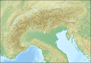 Roccia Nera Location in the Alps | |
| Location |
Valais, Switzerland Aosta Valley, Italy |
| Range | Pennine Alps |
| Coordinates | 45°55′57″N 7°46′31″E / 45.93250°N 7.77528°ECoordinates: 45°55′57″N 7°46′31″E / 45.93250°N 7.77528°E |
The Roccia Nera or Schwarzfluh (respectively Italian and German: "Black Rock") is a peak of the Breithorn massif in the Pennine Alps, on the boundary between the Aosta Valley (northern Italy) and Valais (southern Switzerland). It is the easternmost summit of the Breithorn massif, located east of the Breithornzwillinge. It overlooks the Schwarztor pass on its east side.
References
External links
![]() Media related to Roccia Nera at Wikimedia Commons
Media related to Roccia Nera at Wikimedia Commons