Roccagorga
| Roccagorga | |
|---|---|
| Comune | |
| Comune di Roccagorga | |
 Roccagorga Location of Roccagorga in Italy | |
| Coordinates: 41°32′N 13°9′E / 41.533°N 13.150°ECoordinates: 41°32′N 13°9′E / 41.533°N 13.150°E | |
| Country | Italy |
| Region | Lazio |
| Province | Province of Latina (LT) |
| Government | |
| • Mayor | Loreto Bevilacqua (since June 2004) |
| Area | |
| • Total | 24.0 km2 (9.3 sq mi) |
| Elevation | 287 m (942 ft) |
| Population (Dec. 2004) | |
| • Total | 4,471 |
| • Density | 190/km2 (480/sq mi) |
| Demonym | Rocchigiani (archaic: Roccagorgàni) |
| Time zone | CET (UTC+1) |
| • Summer (DST) | CEST (UTC+2) |
| Postal code | 04010 |
| Dialing code | 0773 |
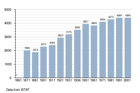
Roccagorga is a comune (municipality) in the Province of Latina in the Italian region Lazio, located about 70 kilometres (43 mi) southeast of Rome and about 20 kilometres (12 mi) northeast of Latina. As of 31 December 2004, it had a population of 4,471 and an area of 24.0 square kilometres (9.3 sq mi).[1]
Roccagorga borders the following municipalities: Carpineto Romano, Maenza, Priverno, Sezze.
Physical geography
The terrain is primarily hilly and mountainous with a soil rich in calcium. This helps provide a year-round supply of water to the area. The climate is mediterranean, with hot, dry summers and mild, wet winters. Agriculture in the area focuses on the growing of olives, as favoured by the mediterranean climate, the calcareous soil and the southern exposure of the hillsides.
History
Roccagorga is situated at on Monte Nero, a hill in the southern Lepini mountains. Its origins date back to the aftermath of the destruction of Privernum in 796 A.D. although it wasn't until the Middle Ages that it began to develop on the second peak of Gorga, around the old Castle. It is named after the matron Gorga who, according to legend, settled on Monte Nero along with the Privernati refugees.
Main sights
- Hermitage of St. Erasmus.
- Ethnical Museum of the Lepini Mountains.
- Church of St. Leonard and St. Erasmus.
- Baronal Palace.
Demographic evolution