Road signs in Indonesia

Road signs in Indonesia are standardised road signs similar to those used in other nations but with certain distinctions. As a former Dutch colony, until the 1960s road signs in Indonesia closely followed Dutch rules on road signs. Nowadays Indonesian road sign design are a mix of both European and North American road sign features. According to the Ministerial Regulation No. 13/2014 about Traffic Signs,[1] the official typeface for road signs in Indonesia is Clearview. Indonesia formerly used FHWA Series fonts as the designated typeface though the rules are not being implemented properly.
Indonesian road signs use Bahasa Indonesia, the official and the national language of Indonesia. However, English is also used for important public places such as tourist attractions and airports. Bilingual signs can be found in areas with a lot of foreign tourists such as Bali.
Indonesia signed the Vienna Convention on Road Signs and Signals but have yet to ratify the Convention.
Warning signs
Warning signs warn of possible dangers or unusual conditions ahead and alert motorists on the hazards to expect. Warning signs in Indonesia used to closely follow the MUTCD diamond-shaped with yellow background and black-and-yellow outline but recently they change it to full black outline.
-

Gentle curve
-
Double curves
-
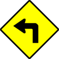
Sharp curve
-

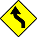
Double turns
-
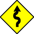
Series of curves
-
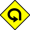
270 degree loop
-
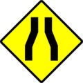
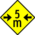
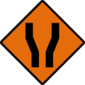
Road narrowing at left and right
-
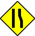
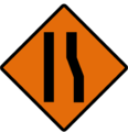
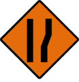
Road narrowing
-
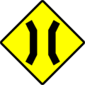
Bridge
-
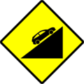
Steep hill downwards
-
Hazardous hill downwards
-
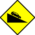
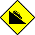
Steep hill upwards
-
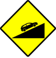
Hazardous hill upwards
-
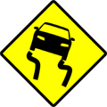
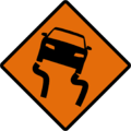
Slippery road surface
-

Dip
-

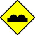
Bump
-
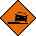
Uneven road surface
-

Loose road surface
-
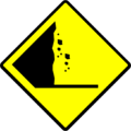
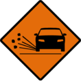
Falling rocks or debris
-
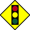
Traffic light ahead
-
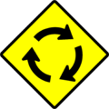
Roundabout
-
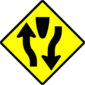
Begin dual carriageway
-
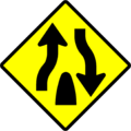
End dual carriageway
-

One-way dual carriageway
-
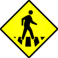
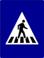
Pedestrian crossing
-
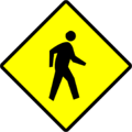
Pedestrian area
-

School zone
-
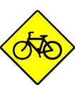
Bike zone
-
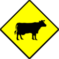
Many farm animals
-
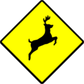
Many wild animals
-
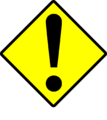
Warning (Usually followed with a supplementary sign beneath)
-

Roadwork ahead
-

Max height ahead
-
Max width ahead
-

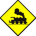
Level crossing ahead
-
Open level crossing ahead
-

Low flying aircraft
-
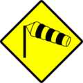
Gusty winds/crosswinds
-
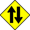
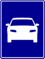
Two way carriageway
-
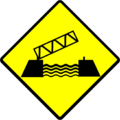
Bascule bridges
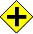
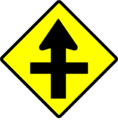
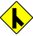
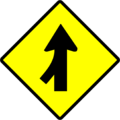
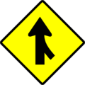
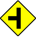
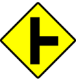
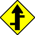
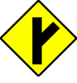
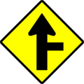
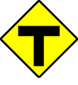
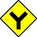
Junctions

Regulatory signs
Prohibitory signs
Prohibitory signs in Indonesia are circular and have a red border with diagonal bars except for stop, yield, and level crossing signs.
-

Stop
-
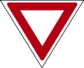
Yield
-

Customs post
-

Toll plaza
-

One-track level crossing
-

Multiple-tracks level crossing
-
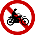
No motorcycles
-
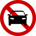
No cars
-

No cars and motorcycles
-
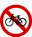
No bikes
-
Maximum length for motorized vehicles
-

Maximum Height Limit[1]
-
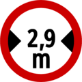
Maximum width limit
-
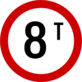
Weight limit
-

Weight limit per axle
-
No stopping
-
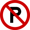
No parking
-

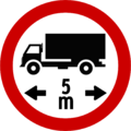
Must give free area for the length above between cars
-
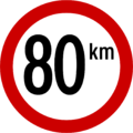
Speed limit
- ^ 4.2m height limit is a standard on toll plazas, bridges etc according to PP No. 44 Thn. 93 (the Indonesian Vehicles and Drivers act) article 115 clause (1)b: "Height limit is 4.200 mm and never exceeds 1.7 times the vehicle's breadth."
Mandatory signs
Mandatory signs in Indonesia follows the "Type A Mandatory Signs" as prescribed by the Vienna Convention, which is the European-style white-on-blue circular signs with addition of white border
-

Follow left
-

Follow right
-

Turn left
-

Turn right
-

Go straight
-

Roundabout traffic direction
-

Keep or use left
-

Keep or use right
-
Keep or use either left or right
-

Minimum speed limit
-

Motorcycles only
-

Buses only
-
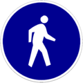
Pedestrians only
-

Bikes only
Directional signs
-

4-way-intersection directional sign. Ngurah Rai International Airport is highlighted in blue colour as it is a public facility
-
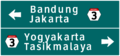
3-way-intersection directional sign. Note the Indonesian National Highway number hexagon
-

Interchange between tolled interstate highways/turnpikes
-

Tolled interstates hwys/turnpikes exit
-
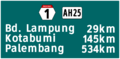
Distance sign, via National Route (different by island)
-

Tolled Interstate hwys/turnpikes entrance
-
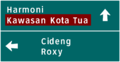
Kawasan Kota Tua, a tourist attraction, is highlighted with brown colour
-

The destination to TOL PURBALEUNYI turnpike is highlighted in white colour and bears the international highway symbol, while Stasiun KA Kota, a train station, is highlighted in blue colour.
Information signs
-

City limits
-
City limits
-
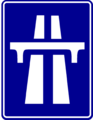
Tolled Interstate hwys/turnpikes
-

Tolled Interstate hwys/turnpikes begin
-

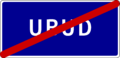
Tolled Interstate hwys/turnpikes end
-
Bus terminal
-
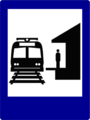
Train station
-

Harbour
-

Airport
-
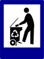
Waste disposal
-
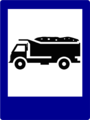
Landfill
-

Post office
-

Public phone
-
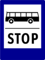
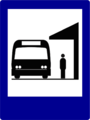
Bus stop
-
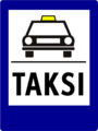
Taxi stand
-

Public transport stand apart from buses and taxis
-
Pedestrian crossing
-

Parking area
-
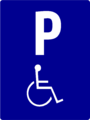
Parking area for disabled
-

Tunnel
-
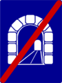
End of tunnel
-
Tsunami evacuation route
-
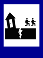
Earthquake evacuation route
-

Volcano eruption evacuation route
-

Emergency muster zone
-

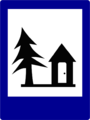
Refuge camp
-

Refuge centre
-

Mosque
-

Church
-
Vihara
-

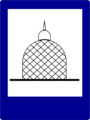
Hindu Temple
-
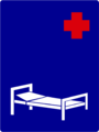
Hospital
-

Clinic, Community Health Center
-

Pharmacy
-
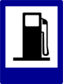
Gas station
-
Scheduled service station
-
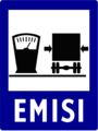
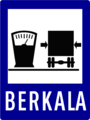
Emission service station
-
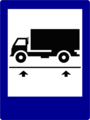
Weigh station
-

Museum
-

Market
-

Restaurant
-

Cafe
-
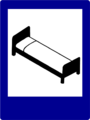
Lodging
-

Motor services
-

Park
-

Cross-country route
-
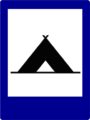
Tent camp
-

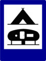
Caravan camp
-
Camp
-
Villa
-

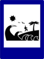
Beach
-
Open sports field
-

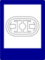
Indoor sports centre
-
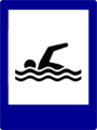
Swimming pool
-
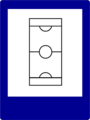
Stadium
-

School
-

Library
-
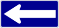
One way
-

Dead end
-
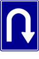
U-turn area
-
Motorized vehicles only
Temporary signs
-

Curve left
-

Curve right
-

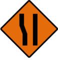
Road narrows
-
Road widens
-

Narrow left
-
Narrow right
-
Widen left
-
Widen right
-

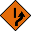
Lane reduction on left
-

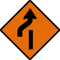
Lane reduction on right
-

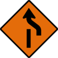
Lane addition on left
-

Lane addition on right
-

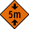
Certain road narrowing
-
Slippery road
-
Uneven surface
-
Gravel
-
Diversion to the right
-

Diversion to the left
-
Diversion ends to the right
-
Diversion ends to the left
-

Diversion by division
-
Diversion by division ends
-

Diversion by division (Different traffic flow)
-

Diversion by division ends
-

Warning sign (followed by a supplementary sign beneath)
-

Road works
-
Maximum height
-
Maximum width
-

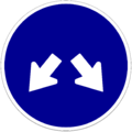
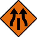
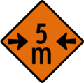
Two-way
-

Traffic control by officers on work
-

Worded warning sign
See also
References
| ||||||||||||||