Riverside, Indiana
| Riverside | |
|---|---|
| Unincorporated community | |
|
Looking north through town along Riverside Road. | |
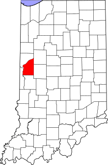
 Fountain County's location in Indiana | |
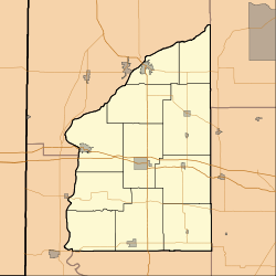
 Riverside Riverside's location in Fountain County | |
| Coordinates: 40°19′30″N 87°09′58″W / 40.32500°N 87.16611°WCoordinates: 40°19′30″N 87°09′58″W / 40.32500°N 87.16611°W | |
| Country | United States |
| State | Indiana |
| County | Fountain |
| Township | Davis |
| Elevation[1] | 571 ft (174 m) |
| ZIP code | 47918 |
| FIPS code | 18-64836[2] |
| GNIS feature ID | 442081 |
Riverside is a small unincorporated community on the border of Davis Township and Logan Township in Fountain County, Indiana, United States.
History
Riverside was originally called Fountain City, and under the latter name was established in the 1850s when the Wabash Railroad was extended to that point.[3] The post office was established as Riverside in 1872, and remained in operation until it was discontinued in 1946.[4][5]
Geography
Riverside is located at 40°19′30″N 87°09′58″W / 40.32500°N 87.16611°W, a little more than half a mile south of the Wabash River. The larger town of Independence is opposite Riverside on the north bank of the Wabash.
References
- ↑ "US Board on Geographic Names". United States Geological Survey. 2007-10-25. Retrieved 2008-01-31.
- ↑ "American FactFinder". United States Census Bureau. Retrieved 2008-01-31.
- ↑ Beckwith, Hiram Williams (1881). History of Fountain County: Together with Historic Notes on the Wabash Valley, Gleaned from Early Authors, Old Maps and Manuscripts ... H. H. Hill and N. Iddings. p. 448.
- ↑ "Fountain County". Jim Forte Postal History. Retrieved 7 September 2014.
- ↑ Baker, Ronald L. (October 1995). From Needmore to Prosperity: Hoosier Place Names in Folklore and History. Indiana University Press. p. 281. ISBN 978-0-253-32866-3.
...closed on February 28, 1946.
Gallery
-

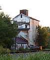
The grain elevator.
-

Sweet Rockets bloom near the grain elevator.
-

The railroad crossing.
| |||||||||||||||||||||||||
