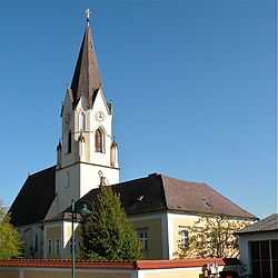
Ried in der Riedmark
| Ried in der Riedmark | ||
|---|---|---|
 | ||
| ||
 Ried in der Riedmark Location within Austria | ||
| Coordinates: 48°16′16″N 14°32′44″E / 48.27111°N 14.54556°ECoordinates: 48°16′16″N 14°32′44″E / 48.27111°N 14.54556°E | ||
| Country | Austria | |
| State | Upper Austria | |
| District | Perg | |
| Government | ||
| • Mayor | Ernst Rabl (SPÖ) | |
| Area | ||
| • Total | 32.6 km2 (12.6 sq mi) | |
| Elevation | 306 m (1,004 ft) | |
| Population (1 January 2014)[1] | ||
| • Total | 4,113 | |
| • Density | 130/km2 (330/sq mi) | |
| Time zone | CET (UTC+1) | |
| • Summer (DST) | CEST (UTC+2) | |
| Postal code | 4312 | |
| Area code | 07238 | |
| Vehicle registration | PE | |
| Website | www.ried-riedmark.at | |

Ried in der Riedmark is a municipality in the district of Perg in the Austrian state of Upper Austria.
Geography
Ried lies in the Mühlviertel. About 19 percent of the municipality is forest, and 71 percent is farmland.
References
| Wikimedia Commons has media related to Ried in der Riedmark. |