Reston, Manitoba
| Reston | |
|---|---|
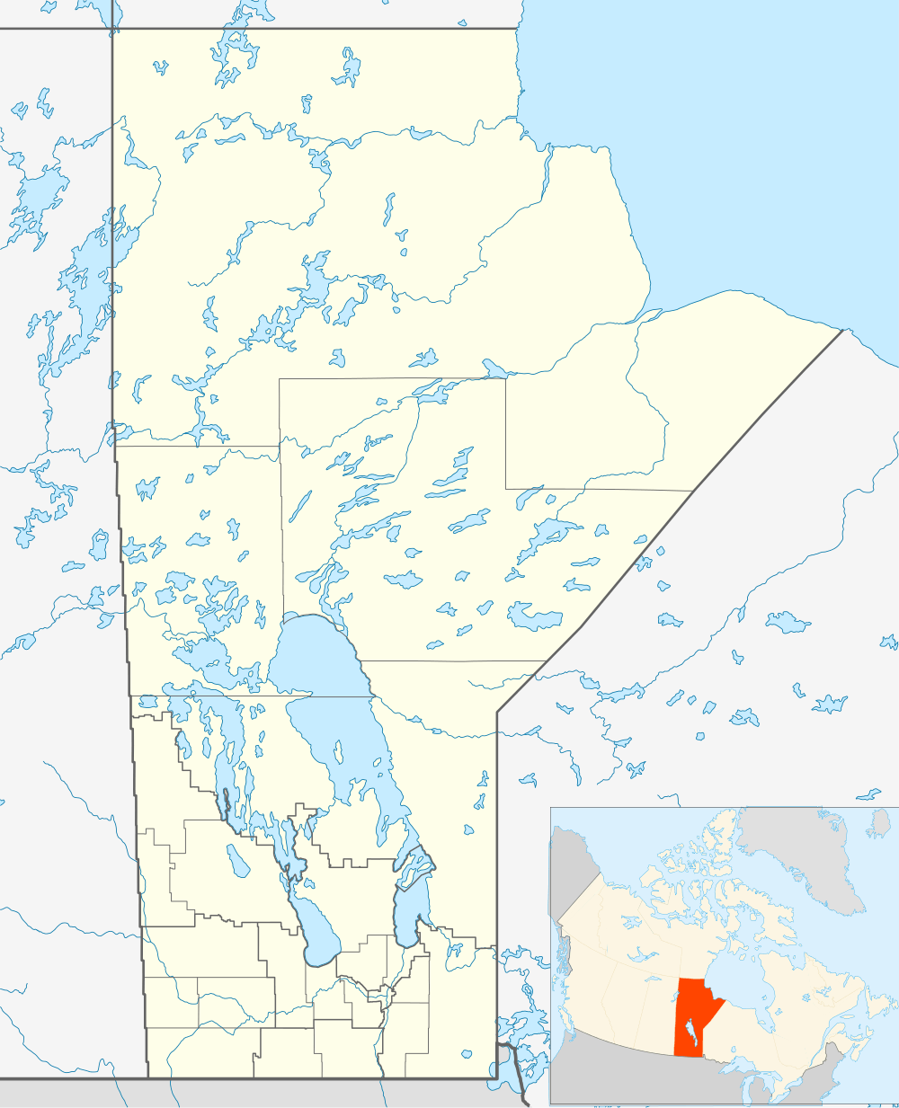 Reston Location of Reston in Manitoba | |
| Coordinates: 49°33′27″N 101°5′36″W / 49.55750°N 101.09333°WCoordinates: 49°33′27″N 101°5′36″W / 49.55750°N 101.09333°W | |
| Country |
|
| Province |
|
| Region | Westman Region |
| Census Division | No. 6 |
| Government | |
| • Governing Body | Rural Municipality of Pipestone Council |
| • MP | Larry Maguire |
| • MLA | Vacant |
| Population (2006 Census[1]) | |
| • Urban | 550 |
| Time zone | CST (UTC−6) |
| • Summer (DST) | CDT (UTC−5) |
| Postal Code | R0M 1X0 |
| Area code(s) | 204 |
| NTS Map | 062F11 |
| GNBC Code | GAWXR |
Reston is a small community in southwestern Manitoba, located near the border of Saskatchewan on the west and North Dakota on the south. It is the biggest town in the Rural Municipality of Pipestone, which also includes the towns of Sinclair, Cromer and Pipestone. The population is about 550.[2]
The name of the town was derived from the area where many of the original settlers came from, which was Reston Junction in Berwickshire, Scotland. The Post Office opened in 1890 on 9-7-27W. It was also a Canadian Pacific railway point and there was a school district which had the name Lanark and a district named Reston was later located on 9-7-27W.
On October 2012, Reston made headlines as the town officials put on a price tag of $10 per land in the town in order to attract families and businesses to the town.[3][4]
References
- ↑ "Population and dwelling counts, for Canada and census subdivisions (municipalities), 2006 and 2001 censuses - 100% data". Statistics Canada, 2006 Census of Population. 2008-11-05. Retrieved 2009-01-30.
- ↑ http://www.reston.ca
- ↑ http://www.ctvnews.ca/canada/manitoba-town-revives-fortunes-after-selling-land-for-10-1.995772
- ↑ http://ca.news.yahoo.com/blogs/dailybrew/move-reston-manitoba-selling-plots-land-10-170122071.html
- Geographical Names of Manitoba - Reston (page 227) - the Millennium Bureau of Canada