Rehberg (Harz)
| Rehberg | |
|---|---|
 South side of the Rehberg from the Jordanshöhe in Sankt Andreasberg | |
| Elevation | 893 m above sea level (NN) (2,930 ft) |
| Prominence | 122 m → Bruchberg |
| Isolation | 3.2 km → Achtermannshöhe |
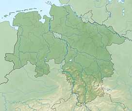
| Location | |
 Rehberg | |
| Range | Harz Mountains |
| Coordinates | 51°44′26″N 10°32′17″E / 51.74056°N 10.53806°ECoordinates: 51°44′26″N 10°32′17″E / 51.74056°N 10.53806°E |
At 893 m (2,930 ft) above sea level, the Rehberg in the Harz mountains is the fourth highest mountain in the German state of Lower Saxony, and the fifth highest in the Harz.
It is located in the Harz National Park immediately north of Sankt Andreasberg. Its summit is a broad, flat dome, much of which is forested. It is not easily accessible because the route from the Rehberg 'ski cross' (Rehberger Skikreuz) was renaturalised several years ago by the Harz National Park as part of its nature conservation planning. In addition, in the region of the summit a marsh biotope has been created by artificial water damming. Along the mountain's eastern and southern sides run two tracks: the Rehberger Grabenweg, with its tavern, the Rehberger Grabenhaus (checkpoint 155 in the Harzer Wandernadel system. Higher up is the Rehberger Planweg which takes walkers and cross-country skiers around the mountain.
See also
- List of mountains and hills in Lower Saxony
- List of mountains in the Harz