Refuge Francesco Gonella
| Francesco Gonella Refuge | |
|---|---|
|
Rifugio Francesco Gonella Refuge Francesco Gonella | |
 Refuge Gonella | |
| Elevation | 3,071 m (10,075 ft) |
| Location | |
 Francesco Gonella Refuge Italy/ France | |
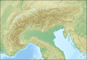
| Range | Graian Alps |
| Coordinates | 45°49′09″N 006°49′56″E / 45.81917°N 6.83222°ECoordinates: 45°49′09″N 006°49′56″E / 45.81917°N 6.83222°E |
The Francesco Gonella Refuge (in Italian, Rifugio Francesco Gonella and sometimes called Rifugio del Dôme; in French, Refuge Francesco Gonella[1] or Refuge du Dôme) is a shelter in the Aosta Valley in the Mont Blanc massif area of the Graian Alps. It lies at an altitude of 3071 meters in Val Veny near Courmayeur (near the Dôme glacier). The refuge is located on the Italian normal route to Mont Blanc.
History
The cottage was renovated between August 2006 and July 2011.
Access
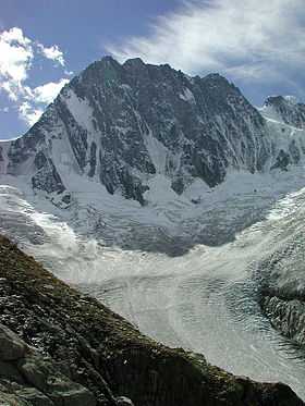
The Refuge Gonella is situated on a ridge called Aiguilles Grises that separates the Dôme glacier from the Italian Bionnassay glacier.
The hike to the refuge starts at the parking lot of La Visaille / plan Lognan (1,670 m). First, follow the track towards Plan Combal (1,990 m). Not far away lies the Lake Miage. Near the Ghiacciaio del Miage glacier is the trailhead S15 leading to the hut at 3071 m.
At 2,500 m flows on the Dôme du Goûter result in the Ghiacciaio del Dome glacier (Fr. Glacier du Dome) of the Miage. At about 2,400 m, the Mont Blanc glacier (French: Glacier du Mont Blanc) is reached, which is fed from the southwest slopes of Mont Blanc.
At an altitude of 2,650 m the trail finally leaves the Miage glaciers and rises over rocks and through meadows to the hut.
On average, the time to reach the Francesco Gonella Refuge from the parking area at La Visaille takes about 5 ½ hours.
Tour opportunities
Transitions
- Transition to the refuge Refuge des Grands Mulets (3,050 m) on the Col du Dôme (4237 m).
- Transition to the refuge Refuge du Goûter (3,817 m) on the Col du Dôme.
- Transition to the refuge Refuge de la Tête Rousse (3197 m) over the Col de Bionassay (3892 m).
- Transition to the refuge Durier Refuge (3,349 m) over the Col de Miage (3356 m).
Summit Tours
The following peaks or passes can be reached from the refuge:
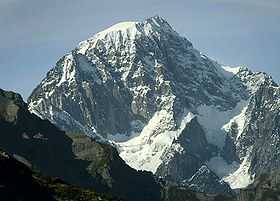
- Dôme du Goûter - (4,304 m)
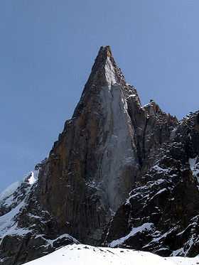
- Aiguille de Bionnassay - (4052 m)
- Aiguille Grises - (3837 m)
References
External links
- Rifugio Gonella website (Italian) (French) (English)
- Access to Refuge Gonella (French)
- Gonella Refuge—YouTube video showing inside of refuge
- From Courmayeur to the Refuge Gonella