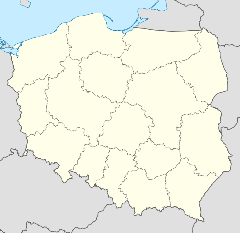
Reda, Poland
Reda [ˈrɛda] Pomeranian: Réda, German: Rheda) is a town on the river Reda in Kashubia or Eastern Pomerania region, north-western Poland with some 17,000 inhabitants. Situated in the Wejherowo County in Pomeranian Voivodeship since 1999, previously in Gdańsk Voivodeship (1975-1998).
It is connected by well developed railway and highway connections to the Tricity, an aglomeration of over 1 million on the coast of Gdańsk Bay.
Population
| Historical population |
|---|
| Year | Pop. | ±% p.a. |
|---|
| 1768 | 74 | — |
|---|
| 1869 | 692 | +2.24% |
|---|
| 1872 | 763 | +3.31% |
|---|
| 1924 | 1,000 | +0.52% |
|---|
| 1968 | 5,400 | +3.91% |
|---|
| | Year | Pop. | ±% p.a. |
|---|
| 1982 | 6,091 | +0.86% |
|---|
| 1991 | 14,000 | +9.69% |
|---|
| 1999 | 17,200 | +2.61% |
|---|
| 2001 | 17,634 | +1.25% |
|---|
| 2011 | 22,030 | +2.25% |
|---|
|
Village Reda
Village Reda

View of Reda
In 1357 first mentioned in documents. Later it shared the history of the province:
annexed by Germany to the province Danzig-West Prussia
- 1945 Poland, Pomeranian Voivodeship
- 1967 Found the town of Reda. Reda has now 5400 inhabitants.
- 1982 Reda has now 6091 inhabitants. Dynamic growth started.
- 1982-1999 Population of Reda has grown 3 fold.
See also
- Reda - railway station in PKP or Reda - railway station in SKM articles
- Reda Pieleszewo railway stop
- Reda Rekowo railway stop
- Reda River
External links
 |
Wikimedia Commons has media related to Reda. |


