Raysal, West Virginia
| Raysal | |
|---|---|
| Census-designated place (CDP) | |
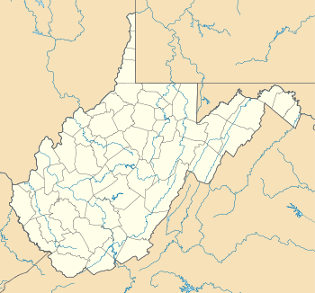 Raysal Location within the state of West Virginia | |
| Coordinates: 37°20′35″N 81°46′56″W / 37.34306°N 81.78222°WCoordinates: 37°20′35″N 81°46′56″W / 37.34306°N 81.78222°W | |
| Country | United States |
| State | West Virginia |
| County | McDowell |
| Area[1] | |
| • Total | 1.244 sq mi (3.22 km2) |
| • Land | 1.229 sq mi (3.18 km2) |
| • Water | 0.015 sq mi (0.04 km2) |
| Elevation | 1,201 ft (366 m) |
| Population (2010)[2] | |
| • Total | 465 |
| • Density | 370/sq mi (140/km2) |
| Time zone | Eastern (EST) (UTC-5) |
| • Summer (DST) | EDT (UTC-4) |
| ZIP code | 24879 |
| Area code(s) | 304 & 681 |
| GNIS feature ID | 1555448[3] |
Raysal is a census-designated place (CDP) in McDowell County, West Virginia, United States. Raysal is located along West Virginia Route 83 1 mile (1.6 km) southeast of Bradshaw. Raysal has a post office with ZIP code 24879.[4] As of the 2010 census, its population was 465.[2]
References
- ↑ "US Gazetteer files: 2010, 2000, and 1990". United States Census Bureau. 2011-02-12. Retrieved 2011-04-23.
- ↑ 2.0 2.1 "American FactFinder". United States Census Bureau. Retrieved 2011-05-14.
- ↑ U.S. Geological Survey Geographic Names Information System: Raysal, West Virginia
- ↑ ZIP Code Lookup
| |||||||||||||||||||||||||||||||||
