Rakops Airport
| Rakops Airport | |||||||||||
|---|---|---|---|---|---|---|---|---|---|---|---|
| IATA: none – ICAO: FBRK | |||||||||||
| Summary | |||||||||||
| Serves | Rakops, Botswana | ||||||||||
| Elevation AMSL | 914 m / 3,000 ft | ||||||||||
| Coordinates | 21°00′S 024°20′E / 21.000°S 24.333°ECoordinates: 21°00′S 024°20′E / 21.000°S 24.333°E | ||||||||||
| Map | |||||||||||
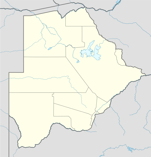 FBRK Location of airport in Botswana | |||||||||||
| Runways | |||||||||||
| |||||||||||
|
Source: Great Circle Mapper[1] | |||||||||||
Rakops Airport (ICAO: FBRK) is an airport serving the village of Rakops, Botswana.
References
- ↑ Airport information for FBRK at Great Circle Mapper.