Rakiura National Park
| Rakiura National Park | |
|---|---|
|
IUCN category II (national park) | |
 Map of New Zealand | |
| Location | Stewart Island, New Zealand |
| Nearest city | Oban, New Zealand |
| Coordinates | 46°54′S 168°7′E / 46.900°S 168.117°ECoordinates: 46°54′S 168°7′E / 46.900°S 168.117°E |
| Area | 1570 km² |
| Established | 2002 |
| Governing body | Department of Conservation |
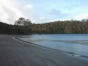
Rakiura National Park is a nature reserve park located on Stewart Island/Rakiura, New Zealand. It is the 14th of New Zealand's national parks and was officially opened on 9 March 2002. It covers 1,570 km², which is about 85% of Stewart Island, New Zealand's third-largest island. The park area excludes the township area around Halfmoon Bay (Oban) and some roads as well as private or Maori-owned land further inland.[1] It is made up of a network of former nature reserves, scenic reserves, and State Forest areas.
A chain sculpture at the entrance to Rakiura National Park symbolises the Maori view that Stewart Island is anchored to South Island; a similar sculpture in Bluff represents the other end of the chain.
Natural history
The popular Rakiura Track is within the national park. Many native birds can be found within the park, and Rakiura offers perhaps the best opportunity anywhere in New Zealand for viewing kiwi in the wild. This is in part due to the absence of stoats and ferrets. Certain coastal areas of this park are breeding areas for the endangered yellow-eyed penguin.[2]
See also
References
- ↑ "Stewart Island national park created". The New Zealand Herald. NZPA. 10 March 2002. Retrieved 4 November 2011.
- ↑ C. Michael Hogan. 2009. Yellow-eyed Penguin: Megadypes antipodes, GlobalTwitcher.com, ed. N. Stromberg
External links
| ||||||||||||||||||||