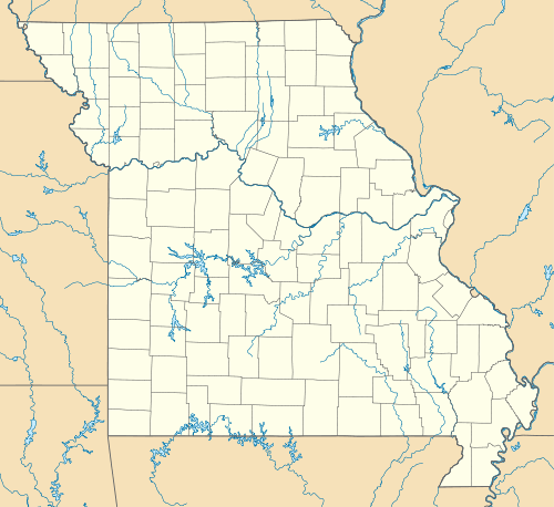
Racine, Missouri
| Racine | |
|---|---|
| Unincorporated community | |
 Racine Location within the state of Missouri | |
| Coordinates: 36°53′46″N 94°31′39″W / 36.89611°N 94.52750°WCoordinates: 36°53′46″N 94°31′39″W / 36.89611°N 94.52750°W | |
| Country | United States |
| State | Missouri |
| County | Newton |
| Time zone | Central (CST) (UTC-6) |
| • Summer (DST) | CDT (UTC-5) |
Racine is an unincorporated community in Newton County, Missouri, United States. It is located along the Frisco Railroad tracks between Neosho and Seneca, Missouri in Lost Creek Valley. Racine is on Route 86 about 6 miles west of Neosho and ten miles south of Joplin and about 5 miles northeast of Seneca and the Oklahoma state line. Some homes, a post office, a fire station, and a couple of businesses are located here.
Many of the original settlers who arrived before the Civil War are buried in Burkhart Cemetery just northeast of town at the junction of what is now known as Juniper and Jasmine Drives.
Due to its proximity to many of the back-roads into the "dry state" of Oklahoma, illegal alcohol and low-tax tobacco was bootlegged through this part of Missouri up to the 1960s.
There are several churches despite the small size of the town including two Apostolic Churches and a large Christian church. The community is part of the Joplin, Missouri Metropolitan Statistical Area.
| |||||||||||||||||||||||||
