Ra's Lanuf Airport
| Ra's Lanuf Airport | |||||||||||||||
|---|---|---|---|---|---|---|---|---|---|---|---|---|---|---|---|
| IATA: none – ICAO: HLNF | |||||||||||||||
| Summary | |||||||||||||||
| Airport type | Civil | ||||||||||||||
| Operator | Government | ||||||||||||||
| Serves | Ra's Lanuf | ||||||||||||||
| Location | Libya | ||||||||||||||
| Elevation AMSL | 42 ft / 13 m | ||||||||||||||
| Coordinates | 30°30′00.05″N 018°31′37.78″E / 30.5000139°N 18.5271611°ECoordinates: 30°30′00.05″N 018°31′37.78″E / 30.5000139°N 18.5271611°E | ||||||||||||||
| Runways | |||||||||||||||
| |||||||||||||||
Ra's Lanuf Airport
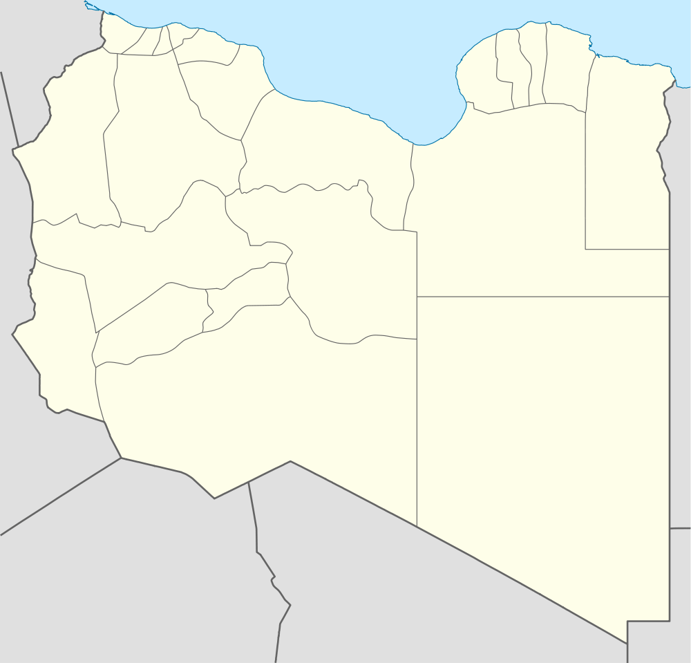
Location of Ra's Lanuf Airport, Libya
Ra's Lanuf Airport is an airport in the Sirte District of Libya, located approximately 227 km south-southwest of Benghazi. Its primary use is the transportation of oilfield workers from production facilities in the area.
World War II
During World War II the airfield, then known as Hamraiet Airfield was used as a military airfield by the United States Army Air Force Ninth Air Force 57th Fighter Group during the North African Campaign against Axis forces. The 57th flew P-40 Warhawks from the airfield between 3-19 January 1943 before moving forward with the British Eighth Army. [1]
References
- ↑
 This article incorporates public domain material from websites or documents of the Air Force Historical Research Agency.
- Maurer, Maurer. Air Force Combat Units of World War II. Maxwell AFB, Alabama: Office of Air Force History, 1983. ISBN 0-89201-092-4.
- Maurer, Maurer, ed. (1982) [1969]. Combat Squadrons of the Air Force, World War II (PDF) (reprint ed.). Washington, DC: Office of Air Force History. ISBN 0-405-12194-6. LCCN 70605402. OCLC 72556.
.svg.png)