Qurnat as Sawda'
| Qurnat as Sawdā’ | |
|---|---|
 Qurnat As Sawda seen from the south in June 1985 | |
| Elevation | 3,088 m (10,131 ft) |
| Prominence | 2,393 m (7,851 ft) |
| Listing |
Country high point Ultra |
| Location | |
 Qurnat as Sawdā’ | |
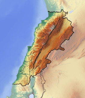
| Range | Mount Lebanon |
| Coordinates | 34°18′00″N 36°07′00″E / 34.30000°N 36.11667°ECoordinates: 34°18′00″N 36°07′00″E / 34.30000°N 36.11667°E |
Qurnat as Sawdā’ is the highest point in Lebanon and the Levant, at 3,088 meters above sea level.[1]
Geography & Climate
Qurnat as Sawda experiences an Alpine-Tundra like weather, with cool temperatures even in the summer. Summer highs usually hover around 10–15 degrees Celsius during the day time, but go down to around 0–5 degrees at night. Winter is a very long period on this mountain (October– late-April) with average highs of only −20 °C and nighttime lows that can plummet to −45 °C. Snowfall is around 10–12 meters every year, and doesn't melt until mid-June. Frosts are also very common during the summer, with some nighttime lows going to around −5 °C. Lebanon peaks above 1800 m are covered with snow almost 4 months a year, and the peaks above 2,500 m are covered around 6 months a year.[2]
The mountain peak is known to experience many avalanches which are, in fact, extremely deadly. Also, the steepness of the slopes can go up to 75 degrees.
References in Medieval Religious Literature
In Jacobus de Vorgaine's Aurea Legenda, the summit of Mount Lebanon (Qurnat as Sawda') is the site on which Noah, after having survived the flood, replanted a sacred tree. Vorgaine states that the tree's seeds were given to Seth by an angel in the Garden of Eden and placed in Adam's mouth upon his passing such that his blood could feed its growth.[3]
See also
References
- ↑ "Qurnat al-Sawdāʾ". Britannica Online Encyclopedia. Encyclopædia Britannica. Retrieved 2 September 2011.
- ↑ www.mount-lebanon.com
- ↑ http://www.sacred-texts.com/eso/sta/sta45.htm