Pyigyidagun Township
| Pyigyidagun Township ပြည်ကြီးတံခွန် မြို့နယ် | |
|---|---|
| Township of Mandalay | |
| Pyigyidagun Township | |
 Pyigyidagun Township | |
| Coordinates: 21°55′0″N 96°5′0″E / 21.91667°N 96.08333°ECoordinates: 21°55′0″N 96°5′0″E / 21.91667°N 96.08333°E | |
| Country |
|
| Division | Mandalay |
| City | Mandalay |
| Township | Pyigyidagun |
| Time zone | MST (UTC6:30) |
| Area code(s) | 2 (mobile: 69, 90)[1] |
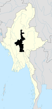
Pyigyidagun Township (also spelled Pyigyitagun Township; Burmese: ပြည်ကြီးတံခွန် မြို့နယ်, pronounced: [pjìdʑí dəɡʊ̀ɴ mjo̰nɛ̀]) is located in the southern part of Mandalay, Myanmar. The township is bounded by Chanmyathazi township in the north and the west, and Amarapura in the south.[2]
Notable places
- Mogok Vipassana Meditation Center
- Kywesakan Bus Terminal
References
- ↑ "Myanmar Area Codes".
- ↑ "Map of Mandalay". DPS. Retrieved 2009-04-04.
| ||||||
| |||||||||||||||||||||||||||||||||||||||||

| ||||||||||||||||||||||||