Putte
For other uses, see Putte (disambiguation).
| Putte | |||
|---|---|---|---|
| Municipality | |||
| |||
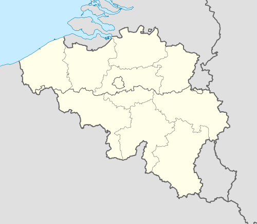 Putte Location in Belgium | |||
|
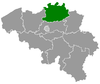
Location of Putte in the province of Antwerp  | |||
| Coordinates: 51°03′N 04°38′E / 51.050°N 4.633°ECoordinates: 51°03′N 04°38′E / 51.050°N 4.633°E | |||
| Country | Belgium | ||
| Community | Flemish Community | ||
| Region | Flemish Region | ||
| Province | Antwerp | ||
| Arrondissement | Mechelen | ||
| Government | |||
| • Mayor | Chris De Veuster (CD&V) | ||
| • Governing party/ies | CD&V, N-VA | ||
| Area | |||
| • Total | 34.96 km2 (13.50 sq mi) | ||
| Population (1 January 2013)[1] | |||
| • Total | 16,726 | ||
| • Density | 480/km2 (1,200/sq mi) | ||
| Postal codes | 2580 | ||
| Area codes | 015, 03 | ||
| Website | www.putte.be | ||

Putte (Dutch pronunciation: [ˈpʏtə]) is a municipality located in the Belgian province of Antwerp. The municipality comprises the towns of Putte, Beerzel, Grasheide and Peulis. The town of Putte is around 8 kilometres (5.0 mi) east of Mechelen. On January 1, 2006 Putte had a total population of 15,690. The total area is 34.96 km² which gives a population density of 449 inhabitants per km².
The Beerzelberg (51.60 m), which is the highest point of the Antwerp province, is located in Beerzel.
Putte should not be confused with Putte in the Kempen, split by the border into Putte (Netherlands) and Putte (Kapellen).
References
- ↑ Population per municipality on 1 January 2013 (XLS; 607.5 KB)
External links
 Media related to Putte (municipality) at Wikimedia Commons
- Official website - Available only in Dutch
 |
Lier | Berlaar | | |
| Sint-Katelijne-Waver | |
Heist-op-den-Berg | ||
| ||||
| | ||||
| Bonheiden | Keerbergen (VBR) |
| ||||||||||||||||