Punta Yawri
| Punta Yawri | |
|---|---|
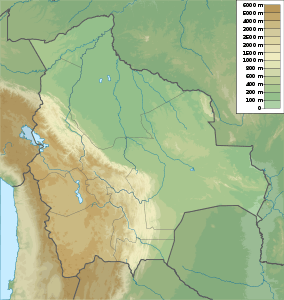
 Punta Yawri Location in Bolivia, on the border with Peru | |
| Elevation | 4,600 m (15,100 ft) |
| Location | |
| Location | Bolivia–Peru border |
| Range | Andes, Apolobamba |
| Coordinates | 14°34′46″S 69°11′09″W / 14.57944°S 69.18583°WCoordinates: 14°34′46″S 69°11′09″W / 14.57944°S 69.18583°W |
Punta Yawri (Spanish punta point, Quechua, yawri a big needle, Aymara yawri copper,[1][2] also spelled Punta Yavre, Punta Yayre) is a mountain in the northeast of the Apolobamba mountain range on the border of Bolivia and Peru. It is about 4,600 metres (15,092 ft) high. On the Bolivian side it is located in the La Paz Department, Franz Tamayo Province, Pelechuco Municipality, and on the Peruvian side it lies in the Puno Region, Putina Province, Sina District. Punta Yawri is situated northwest and northeast of the mountains Chawpi Urqu and Kulli Pata.[3][4][5]
A little river named Janq'u Qala (Aymara for "white stone", Janlocala) originates near the lake Uqi Qucha (Quechua for "grey lake", Okhe Khocha) east the mountain. It flows to the south. One of the small lakes south of Punta Yawri is Juqhun Punta (Jucun Punta).
References
- ↑ Teofilo Laime Ajacopa, Diccionario Bilingüe Iskay simipi yuyayk'ancha, La Paz, 2007 (Quechua-Spanish dictionary)
- ↑ Radio San Gabriel, "Instituto Radiofonico de Promoción Aymara" (IRPA) 1993, Republicado por Instituto de las Lenguas y Literaturas Andinas-Amazónicas (ILLLA-A) 2011, Transcripción del Vocabulario de la Lengua Aymara, P. Ludovico Bertonio 1612 (Spanish-Aymara-Aymara-Spanish dictionary)
- ↑ Bolivian IGM map 1:100,000 3041 Pelechuco
- ↑ "Pelechuco". ine.gob.bo. Retrieved December 13, 2014.
- ↑ escale.minedu.gob.pe - UGEL map of the Putina Province (Puno Region)
