Private place

A private place is a self-governing enclave whose common areas (e.g. streets) are owned by the residents, and whose services are provided by the private sector.
The history of St. Louis, Missouri, and its near suburbs is significant in the development of private places. Most were laid out by Prussian-born surveyor and planner Julius Pitzman, who conceived the idea around 1868 as a way for residential landowners to control real estate speculation and maintain property standards, in an era before the protections of zoning. Pitzman designed 47 of these developments over a 50-year period.[1]
The first of these, Lucas Place, dates from 1851 and no longer exists as such. But the growth of these developments began in earnest with Benton Place, in 1868, a 12-house development adjacent to Lafayette Square, St. Louis, and is in more-or-less original condition today. Vandeventer Place, opened in 1870 and included a house design by H.H. Richardson. Vandeventer Place has been replaced by urban development, with the exception of the east gate, which was removed to Forest Park.
These privately controlled single-family housing communities in the midst of the city are legally organized somewhat similarly to condominiums, co-ops or homeowners associations. In 1982 the St. Louis metropolitan area had more than 427 street associations administering private places.[2] Although often associated with high-end communities, neighborhoods of various socio-economic natures have been structured as private places.
Private places in the City of St. Louis
- Clifton Heights (1885)
- Westmoreland Place and adjacent Portland Place (1888) - Portland gates designed by Theodore Link
- Compton Heights (1889)
- Lewis Place (1890)
- Washington Terrace (1892)
- Hortense Place (1900)
- Kingsbury Place (1902) - the gates, #3, #7, and #11 designed by Thomas P. Barnett
- Lenox Place (1903)
- Parkview Place (1905), Pitzman's final development
-
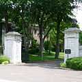
Hortense Place
-
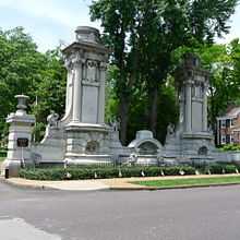
Kingsbury Place
-
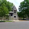
Portland Place
-
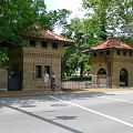
Westmoreland Place
Private places in St. Louis County
- Brentmoor Park (Clayton)
- Carrswold (Clayton)
- Lake Forest (Richmond Heights)
- Hampton Park (Richmond Heights)
- Fair Oaks (Ladue)
- Dromara (Ladue)
- La Hacienda (Ladue)
- Briarcliff (Ladue)
- Picardy Lane (Ladue)
- Chevy Chase (Olivette)
-
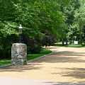
Brentmoor Park
-
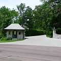
Carrswold
-
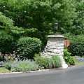
Dromara
-
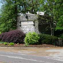
Fair Oaks
References
- ↑ David T. Beito, From Privies to Boulevards: The Private Supply of Infrastructure in the United States during the Nineteenth Century in Jerry Jenkins and David Sisk, eds., Development by Consent: The Voluntary Supply of Public Goods and Services, San Francisco: ICS Press, 1993, 23–48; and The Formation of Urban Infrastructure through Non-Governmental Planning: The Private Places of St. Louis, 1869–1920, Journal of Urban History 16 (May 1990), 263–301.
- ↑ Parks, Roger B., and Ronald J. Oakerson (1988), Metropolitan Organization: The St. Louis Case, Advisory Commission on Intergovernmental Relations, pp. 9, 84