Poverty Valley Aerodrome
| Poverty Valley Aerodrome | |||||||||||
|---|---|---|---|---|---|---|---|---|---|---|---|
| IATA: none – ICAO: none – TC LID: CPV9 | |||||||||||
| Summary | |||||||||||
| Airport type | Public | ||||||||||
| Operator | N. Amthor | ||||||||||
| Location | Whiska Creek No. 106, near Poverty Valley, Saskatchewan | ||||||||||
| Time zone | CST (UTC−06:00) | ||||||||||
| Elevation AMSL | 2,440 ft / 744 m | ||||||||||
| Coordinates | 50°02′20″N 107°15′22″W / 50.03889°N 107.25611°WCoordinates: 50°02′20″N 107°15′22″W / 50.03889°N 107.25611°W | ||||||||||
| Map | |||||||||||
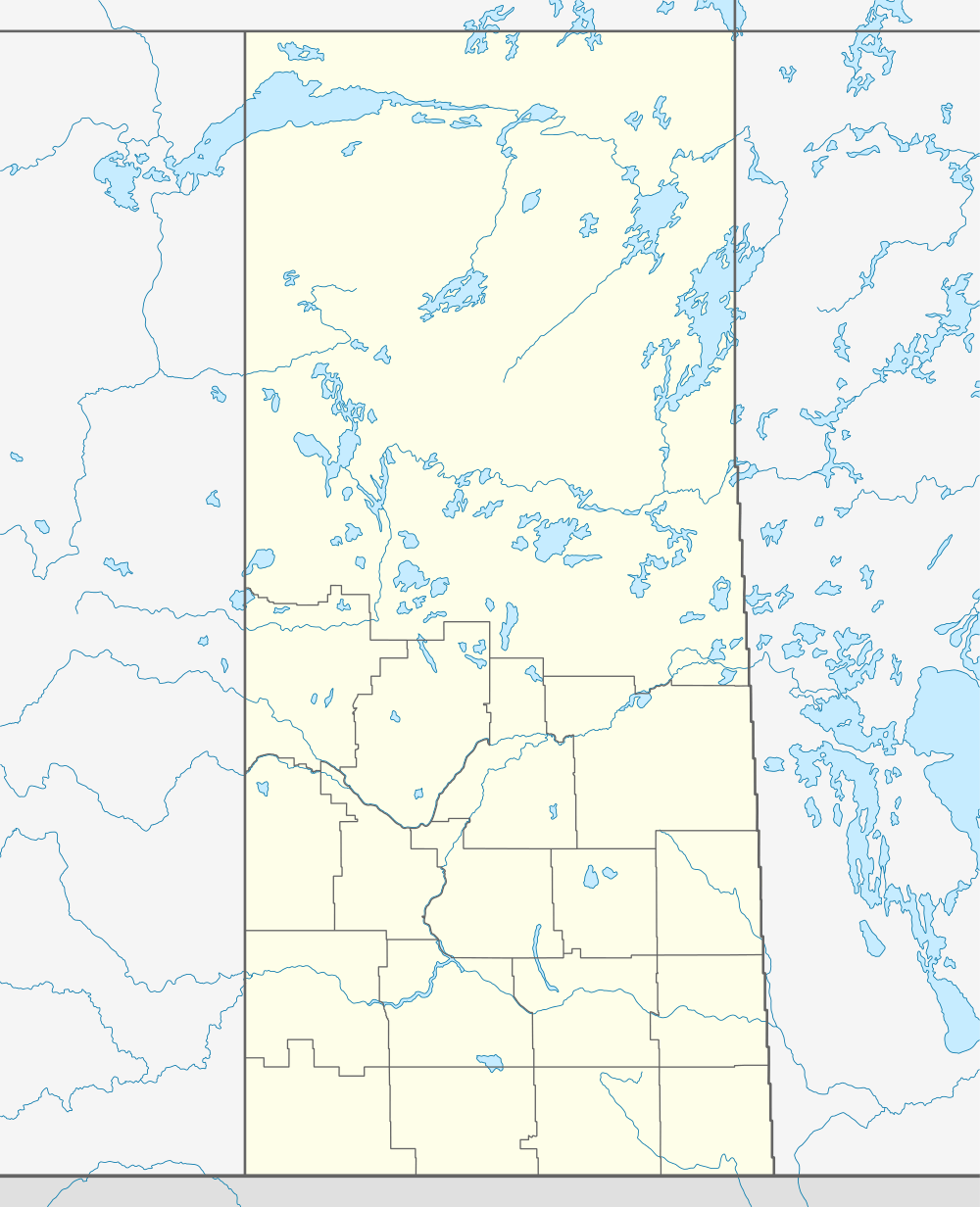 CPV9 Location in Saskatchewan | |||||||||||
| Runways | |||||||||||
| |||||||||||
|
Sources: Canada Flight Supplement[1] | |||||||||||
Poverty Valley Aerodrome, (TC LID: CPV9), is a small aerodrome located near Poverty Valley, Saskatchewan, Canada. This location is near Saskatchewan Highway 612 south of Neidpath, Saskatchewan. McMahon is to the west, and Hodgeville to the east. Swift Current is the nearest large center to the north west on the Trans Canada Highway.[2]
References
- ↑ Canada Flight Supplement. Effective 0901Z 24 July 2014 to 0901Z 18 September 2014
- ↑ "Google Maps +50° 2' 20.00", -107° 15' 22.00"". Retrieved 2008-07-07.
| ||||||||||||||||||||||||||||||