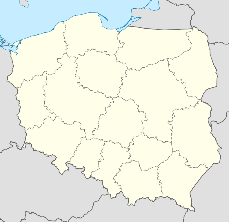
Popowa Wola
| Popowa Wola | |
|---|---|
| Village | |
 Popowa Wola | |
| Coordinates: 53°46′N 21°3′E / 53.767°N 21.050°E | |
| Country |
|
| Voivodeship | Warmian-Masurian |
| County | Szczytno |
| Gmina | Dźwierzuty |
Popowa Wola [pɔˈpɔva ˈvɔla] (German: Pfaffendorf) is a village in the administrative district of Gmina Dźwierzuty, within Szczytno County, Warmian-Masurian Voivodeship, in northern Poland.[1] It lies approximately 9 kilometres (6 mi) north-east of Dźwierzuty, 24 km (15 mi) north of Szczytno, and 37 km (23 mi) east of the regional capital Olsztyn.
Before 1945 the area was part of Germany (East Prussia).
