Plover Hill
| Plover Hill | |
|---|---|
 | |
| Elevation | 680 m (2,230 ft)[1] |
| Prominence | 59 m (194 ft) |
| Listing | Hewitt, Nuttall |
| Location | |
 Plover Hill | |
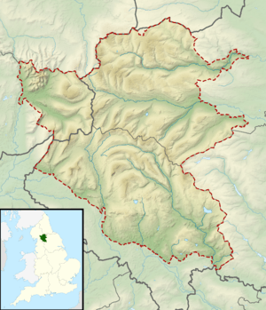
| Range | Yorkshire Dales |
| OS grid | SD849752 |
| Coordinates | 54°10′21″N 2°13′58″W / 54.17237°N 2.23281°WCoordinates: 54°10′21″N 2°13′58″W / 54.17237°N 2.23281°W |
| Topo map | OS Explorer OL2 |
Plover Hill is an area of moorland north of Pen-y-ghent in the Yorkshire Dales, England and connected to it by an unbroken area of high ground. Whilst the area is now on Access Land the main right of way footpaths come directly from the north off Foxup Road and directly from the south from the Pen-y-ghent summit.
References
- ↑ Alan Dawson (1992). "The absolute summits of England and Wales". Relative Hills of Britain. Cicerone Press. pp. 206–229. ISBN 978-1-85284-068-6.