Plessur (river)
| Plessur | |
|---|---|
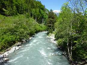 The Plessur above Chur. | |
| Origin | 46°44′45.4″N 9°37′10″E / 46.745944°N 9.61944°E |
| Mouth | 46°51′46″N 9°30′26″E / 46.86278°N 9.50722°E |
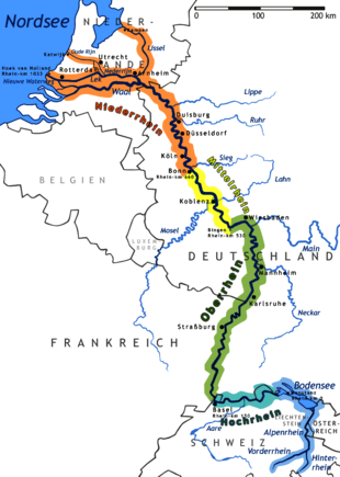
| Progression | Rhine → North Sea |
| Length | 33.1 km |
| Source elevation | 2400 m |
| Mouth elevation | 560 m |
| River system | Rhine |
The Plessur is a 33 km (21 mi) long right tributary of the Rhine River running through the Swiss canton of Graubünden. The river source is near the municipality of Arosa in the Plessur Range. It then flows through the Schanfigg valley before emptying into the Rhine at Chur.
The Langwieser Viaduct, an early reinforced concrete railroad bridge constructed in 1914, spans the Plessur near the municipality of Langwies.
External links
- Plessur at Historischen Lexikon der Schweiz
| ||||||||||||