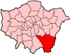
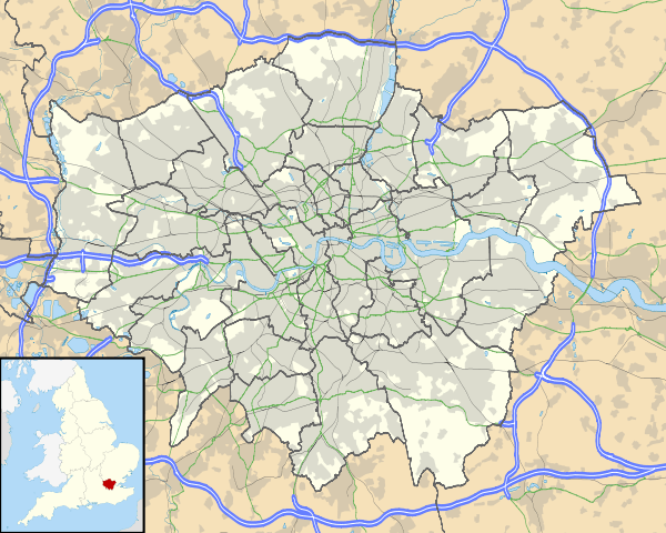
Plaistow, Bromley
Coordinates: 51°24′54″N 0°00′54″W / 51.414920°N 0.014967°W
Plaistow (/ˈpleɪstoʊ/ PLAY-stoh) is a locality in the London Borough of Bromley, bordered by the London Borough of Lewisham to the north. It is within the Bromley post town and the BR postcode area.
Plaistow was still countryside in the 1860s, when Bromley was still part of the county of Kent. Housing development began after the arrival of the railway. St Mary’s Church was consecrated in 1863 and enlarged three times between 1881 and 1900. The churchyard closed for burials in 1893 when Plaistow Cemetery opened.[1]
References
- ↑ "London Gardens Online, St Mary's Churchyard, Plaistow". London Parks and Gardens Trust. Retrieved 18 February 2013.