Pine, Oregon
| Pine, Oregon | |
|---|---|
| Unincorporated community | |
 Pine, Oregon | |
| Coordinates: 44°51′40″N 117°05′20″W / 44.861°N 117.089°WCoordinates: 44°51′40″N 117°05′20″W / 44.861°N 117.089°W | |
| Country | United States |
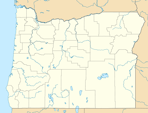
| State | Oregon |
| County | Baker |
| Elevation | 2,575 ft (785 m) |
| Time zone | Pacific (PST) (UTC-8) |
| • Summer (DST) | PDT (UTC-7) |
| ZIP code | 97834 |
| Area code(s) | 458 and 541 |
Pine is an unincorporated community in Baker County, Oregon, United States.[1][2] It is located about 2.3 miles (3.7 km) southeast of the city of Halfway, near Oregon Route 86.[1]
References
- ↑ 1.0 1.1 "Pine, Oregon". Oregon HomeTownLocator.
- ↑ "Pine, Oregon". Geographic Names Information System. United States Geological Survey. November 28, 1980. Retrieved 2011-06-03.
| |||||||||||||||||||||
