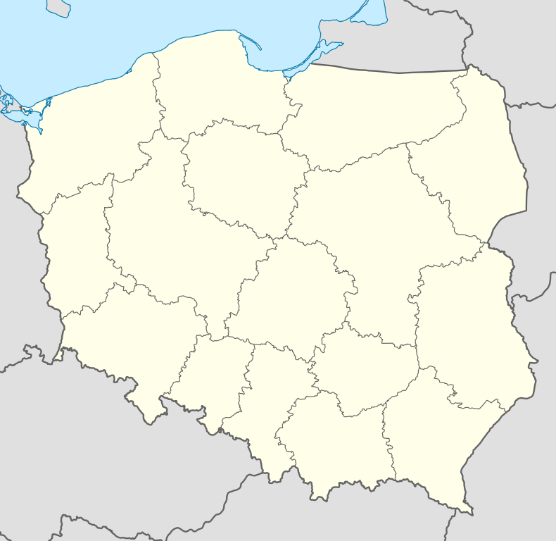
Pieńsk
| Pieńsk | |||
|---|---|---|---|
| |||
 Pieńsk | |||
| Coordinates: 51°14′47″N 15°2′46″E / 51.24639°N 15.04611°E | |||
| Country |
| ||
| Voivodeship | Lower Silesian | ||
| County | Zgorzelec | ||
| Gmina | Pieńsk | ||
| Government | |||
| • Mayor | Tadeusz Łowicki | ||
| Area | |||
| • Total | 9.92 km2 (3.83 sq mi) | ||
| Population (2007) | |||
| • Total | 6,036 | ||
| • Density | 610/km2 (1,600/sq mi) | ||
| Time zone | CET (UTC+1) | ||
| • Summer (DST) | CEST (UTC+2) | ||
| Postal code | 59-930 | ||
| Car plates | DZG | ||
| Website | http://www.piensk.com.pl | ||
Pieńsk [pʲɛɲsk] (German: Penzig) is a town in Zgorzelec County, Lower Silesian Voivodeship, in south-western Poland. It is the seat of the administrative district (gmina) called Gmina Pieńsk, and stands on the east bank of the Lusatian Neisse river, which forms the border between Poland and Germany. (For more information about the history of the region, see Lusatia.)
The town lies approximately 11 kilometres (7 mi) north of Zgorzelec, and 140 kilometres (87 mi) west of the regional capital Wrocław. As of 2006, it has a population of 5,799.
History

The Upper Lusatian lords of Penzig, the Herren von Penzig, are first recorded in 1241. Besides Penzig in Upper Lusatia the family held a number of other towns and territories on both banks of the Neiße river. In 1491 the city of Görlitz purchased the Penziger Heide (parts of the territory of Penzig) and combined it as Görlitzer Heide with its own communal territory.
In 1945 the Oder-Neiße line became the dividing line between Germany and Poland, leaving Penzig, now Piensk, in Poland. The native German populace was expelled and replaced with Poles.
At present the historical Lusatian territory of Piensk is administered by the Lower Silesian Voivodeship.
External links
- Herren von Penzig territory purchased by city of Görlitz
- Penziger Heide and Görlitz on both banks of Neiße River on 1645 map.
- Historical Map of Lausitz, Görlitzer Kreis , Pentzig. East of Neiße River.
- Official town website
- Pieńsk information service
| ||||||||||||
Coordinates: 51°14′47″N 15°02′46″E / 51.24639°N 15.04611°E

