Pera Pedi
| Pera Pedi Πέρα Πεδί | |
|---|---|
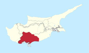
 Pera Pedi Location in Cyprus | |
| Coordinates: 34°51′34″N 32°52′34″E / 34.85944°N 32.87611°ECoordinates: 34°51′34″N 32°52′34″E / 34.85944°N 32.87611°E | |
| Country |
|
| District | Limassol District |
| Population (2001)[1] | |
| • Total | 66 |
| Time zone | EET (UTC+2) |
| • Summer (DST) | EEST (UTC+3) |
| Website | http://www.perapedi.org/ |
Pera Pedi (Greek: Πέρα Πεδί) is a village in the Limassol District of Cyprus, located 4 km south-east of Pano Platres. The E802 road serves the village, and connects to Mandria in the West and Trimiklini in the East.
