Patensie
| Patensie | |
|---|---|
|
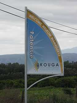
Signboard on the R331 outside Patensie | |
 Patensie
| |
| Coordinates: 33°45′32″S 24°48′53″E / 33.75889°S 24.81472°ECoordinates: 33°45′32″S 24°48′53″E / 33.75889°S 24.81472°E | |
| Country | South Africa |
| Province | Eastern Cape |
| District | Cacadu |
| Municipality | Kouga |
| Established | 1858 [1] |
| Area[2] | |
| • Total | 6.23 km2 (2.41 sq mi) |
| Population (2011)[2] | |
| • Total | 5,263 |
| • Density | 840/km2 (2,200/sq mi) |
| Racial makeup (2011)[2] | |
| • Black African | 39.7% |
| • Coloured | 50.2% |
| • Indian/Asian | 0.2% |
| • White | 8.0% |
| • Other | 1.9% |
| First languages (2011)[2] | |
| • Afrikaans | 70.0% |
| • Xhosa | 24.9% |
| • English | 1.4% |
| • Other | 3.7% |
| Postal code (street) | 6335 |
| PO box | 6335 |
| Area code | 042 |
Patensie is a town in Cacadu District Municipality in the Eastern Cape province of South Africa. Patensie lies along the R331 road just south of Noorshoek. The Kouga Dam is located several kilometres to the west. The name is Khoi in origin, and means "cattle resting place".[3] The town is a centre for the citrus, tobacco, and vegetable farms in the area.[3]
References
- ↑ "Patensie". Gamtoos Tourism. Retrieved 25 February 2012.
- ↑ 2.0 2.1 2.2 2.3 "Main Place Patensie". Census 2011.
- ↑ 3.0 3.1 "Cacadu Region". Revealed.co.za. Retrieved 28 August 2014.
External links
| Wikimedia Commons has media related to Patensie. |
| |||||||||||||||||||||||||||||||||||||||||||||
.svg.png)