Palmyra (Cooper) Airport
For another use of the abbreviation, PLPA, see Professional Lacrosse Players' Association.
| Palmyra (Cooper) Airport | |||||||||||
|---|---|---|---|---|---|---|---|---|---|---|---|
 | |||||||||||
| IATA: none – ICAO: PLPA – FAA LID: P16 | |||||||||||
| Summary | |||||||||||
| Airport type | Private | ||||||||||
| Owner | The Nature Conservancy | ||||||||||
| Location | Palmyra Atoll | ||||||||||
| Elevation AMSL | 5 ft / 2 m | ||||||||||
| Coordinates | 05°53′00″N 162°04′00″W / 5.88333°N 162.06667°WCoordinates: 05°53′00″N 162°04′00″W / 5.88333°N 162.06667°W | ||||||||||
| Maps | |||||||||||
 EO-1 image of Palmyra Atholl with runway at the top | |||||||||||
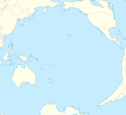
 PLPA Location in the Pacific Ocean | |||||||||||
| Runways | |||||||||||
| |||||||||||
Palmyra (Cooper) Airport (ICAO: PLPA, FAA LID: P16) is an unattended airport on Palmyra Atoll in the Pacific Ocean. It is a private-use facility, originally built during World War II and now owned by The Nature Conservancy. It has one runway (6/24) measuring 5,000 ft × 150 ft (1,524 m × 46 m).[1]
The name for the airport and the island where it is located[2] comes from Henry Ernest Cooper, Sr. (1857–1929) who owned Palmyra from 1911 to 1922.[3]
References
- ↑ 1.0 1.1 FAA Airport Master Record for P16 (Form 5010 PDF), effective 2007-08-30
- ↑ U.S. Geological Survey Geographic Names Information System: Cooper Island
- ↑ "Palmyra Atoll". Office of Insular Affairs web site. United States Department of Interior. Retrieved August 12, 2010.