Palmar Sur Airport
| Palmar Sur Airport | |||||||||||
|---|---|---|---|---|---|---|---|---|---|---|---|
| IATA: PMZ – ICAO: MRPM | |||||||||||
| Summary | |||||||||||
| Airport type | Public | ||||||||||
| Location | Palmar Sur | ||||||||||
| Elevation AMSL | 15 m / 49 ft | ||||||||||
| Coordinates | 08°57′04″N 083°28′07″W / 8.95111°N 83.46861°WCoordinates: 08°57′04″N 083°28′07″W / 8.95111°N 83.46861°W | ||||||||||
| Map | |||||||||||
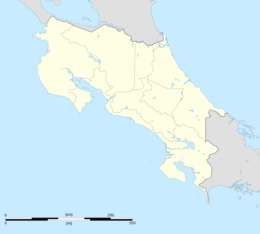
 MRPM Location in Costa Rica | |||||||||||
| Runways | |||||||||||
| |||||||||||
Palmar Sur Airport (IATA: PMZ, ICAO: MRPM) is an airport that serves Palmar Sur, Costa Rica. It is located in southern Puntarenas province near the Osa Peninsula. The airport basically consists of a hut with a paved runway. Both charter planes and scheduled planes arrive daily. For updated info see PalmarSur dot com.
The airport is near the Rio Terraba and the Pan-American Highway. Taxis are available outside the Palmar Sur Airport. By bus, it costs approximately $0.20(US) to Palmar Norte or $0.60(US) to Sierpe, though the buses do not always arrive on time or very frequently.
From Palmar Sur, you can travel in 40 minutes to Punta Uvita (North) and 25 minutes to Ojochal (North)
Scheduled Service
| Airlines | Destinations |
|---|---|
| Nature Air | Quepos, San Jose [via Quepos] |
| Sansa | San Jose |