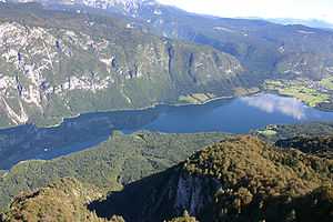
Pšata
| Pšata | |
|---|---|
 The Pšata at Topole | |
| Basin countries | Slovenia |
| Length | 28 km (17 mi)[1] |
| Source elevation | 405 m (1,329 ft)[1] |
| Mouth elevation | 269 m (883 ft)[1] |
| Basin area | 139 km2 (54 sq mi)[1] |
The Pšata (pronounced [ˈpʃaːta]; in older sources also Pešata[2]) is a river of Slovenia. The river is 28 km (17 mi) long.[1] It is a right tributary of the Kamnik Bistrica, which merges with the Sava east of Ljubljana, the capital of Slovenia.
References
- ↑ 1.0 1.1 1.2 1.3 1.4 "Reke, dolge nad 25 km, in njihova padavinska območja" [Rivers longer than 25 km and their catchment areas] (in Slovene and English). Statistical Office of the Republic of Slovenia. 2002.
- ↑ Krajevni leksikon Dravske Banovine. 1937. Ljubljana: Zveza za tujski promet za Slovenijo, p. 190.
External links
- Condition of the Pšata graphs, in the following order, of water level, flow, and temperature data for the past 30 days (taken in Topole by ARSO)
| ||||||||||||||||||||||||||||||||||||
Coordinates: 46°05′23.96″N 14°37′25.96″E / 46.0899889°N 14.6238778°E