Osmaneli
| Osmaneli | |
|---|---|
|
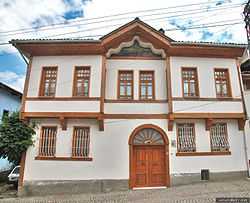
Authentic Osmaneli House | |
 Osmaneli | |
| Coordinates: 40°21′N 30°1′E / 40.350°N 30.017°ECoordinates: 40°21′N 30°1′E / 40.350°N 30.017°E | |
| Country |
|
| Province | Bilecik |
| Area[1] | |
| • District | 510.37 km2 (197.05 sq mi) |
| Population (2012)[2] | |
| • Urban | 14,521 |
| • District | 21,274 |
| • District density | 42/km2 (110/sq mi) |
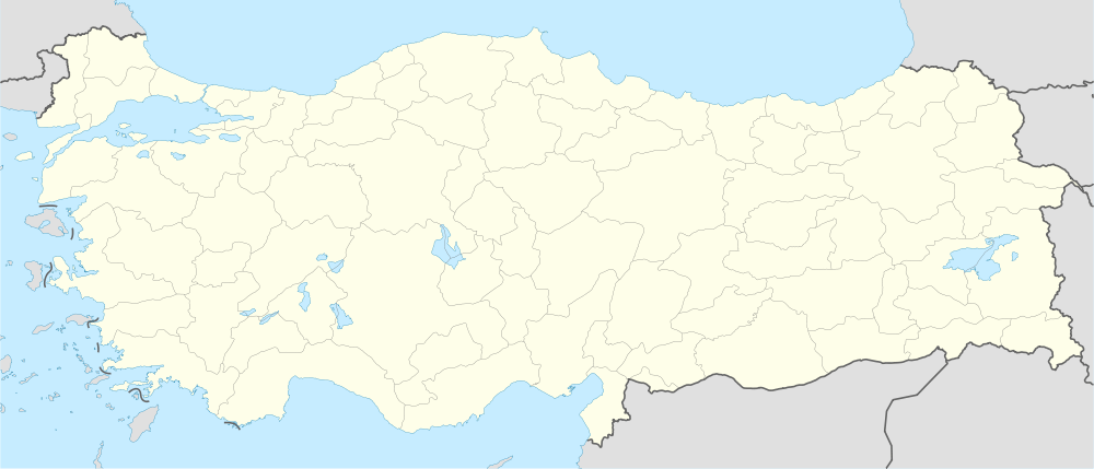
Osmaneli is a town and district of Bilecik Province in the Marmara region of Turkey. In 2010 its population was 13,816. The mayor is Mustafa Selahettin Çetintaş (AKP).
Situated on a hillside at a point where the Karasu, flowing down from Kandilli Dağ, enters the Sakarya, this small town was known in antiquity as Leukai and more recently as Lefke. South of the town is a narrow and very beautiful river gorge with rocky walls up to 100 m/328 ft high, contributing to some spectacular scenery.
Places to see
In the west part of Osmaneli are the well-preserved ruins of a large Rum (Anatolian Greek) Orthodox church of 1890's not far from it, a building that was used as a silk-spinning mill, and also the owner's house. There are several Ottoman style homes available and watermelon festival each year being celebrated, which is also worth seeing.
References
- ↑ "Area of regions (including lakes), km²". Regional Statistics Database. Turkish Statistical Institute. 2002. Retrieved 2013-03-05.
- ↑ "Population of province/district centers and towns/villages by districts - 2012". Address Based Population Registration System (ABPRS) Database. Turkish Statistical Institute. Retrieved 2013-02-27.
External links
- Osmaneli municipality's official website (Turkish)

