Ortuella
| Ortuella | ||
|---|---|---|
| Municipality | ||
|
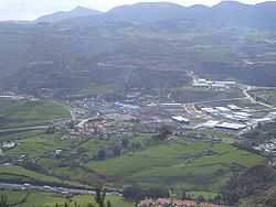
View from Serantes | ||
| ||
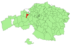 Location of Muskiz in Biscay. | ||
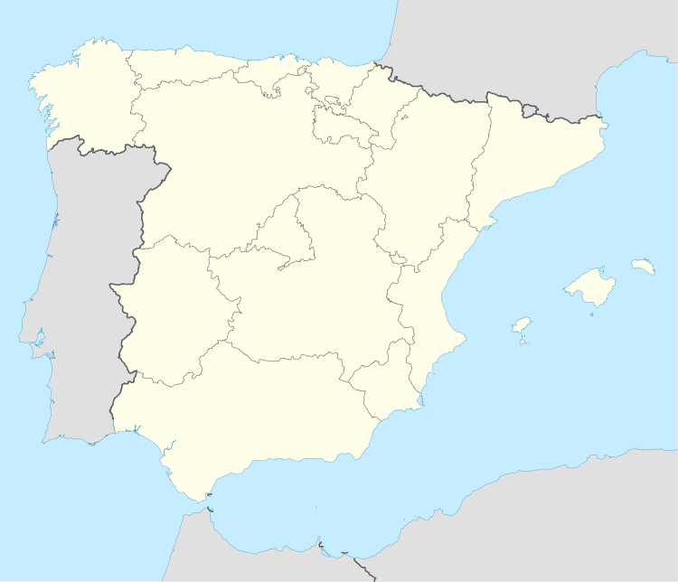 Ortuella Location in Spain | ||
| Coordinates: 43°18′37″N 3°3′25″W / 43.31028°N 3.05694°WCoordinates: 43°18′37″N 3°3′25″W / 43.31028°N 3.05694°W | ||
| Country |
| |
| Autonomous community |
| |
| Province | Biscay | |
| Comarca | Greater Bilbao | |
| Segregated | 1901 | |
| Government | ||
| • Alcalde | Oskar Martínez Zamora (EAJ-PNV) | |
| Area | ||
| • Total | 7.65 km2 (2.95 sq mi) | |
| Elevation | 66 m (217 ft) | |
| Population (2009) | ||
| • Total | 8,520 | |
| • Density | 1,100/km2 (2,900/sq mi) | |
| Demonym | ortuellatarra | |
| Time zone | CET (UTC+1) | |
| • Summer (DST) | CEST (UTC+2) | |
| Postal code | 48530 | |
| Official language(s) | Basque | |
| Website | Official website | |
Ortuella is a town and municipality located in the province of Biscay, in the Autonomous Community of Basque Country, northern Spain.
Nowadays part of Greater Bilbao region, until the beginning of 19th century it was integrated in the Valley of Somorrostro of the Encartaciones next to the Santurtzi. In 1901 the locality segregated from the Council of the Santurtzi, those days happening to denominate the Santurce-Ortuella. This segregation was motivated by an increase of population due to the mining height of end of 19th century, being the district of Ortuella the one of greater population in the Council. In the 1980s, and by means of the resolution of March 27, 1981, the name of the municipality definitively lost the term " Santurce", simply being " Ortuella", which was the ususual name used by their citizens.
The patron saint of Ortuella is Saint Felix of Cantalica (May 18), name of the main church of the municipality.
Neighborhoods
Ortuella is administratively divided into 6 neighborhoods or wards:[1]
- Cadegal (Pop. 46)
- Orconera (Pop. 39)
- Nocedal (Pop. 204)
- Ortuella (Pop. 7.475)
- Triano (Pop. 10)
- Urioste (Pop. 803)
Demography
| 1897 | 1900 | 1910 | 1920 | 1930 | 1940 | 1950 | 1960 | 1970 | 1981 | 1991 | 2001 | 2006 |
|---|---|---|---|---|---|---|---|---|---|---|---|---|
| * | * | 5,041 | 5,528 | 6,060 | 5,688 | 5,681 | 7,633 | 8,011 | 9,100 | 8,976 | 8,684 | 8,618 |
References
- ↑ Euskaltzaindia. "Euskal Onomastikaren Datutegia (EODA): Ortuella". Euskaltzaindia. Retrieved 20 June 2010.
External links
| Wikimedia Commons has media related to Ortuella. |
- ORTUELLA in the Bernardo Estornés Lasa - Auñamendi Encyclopedia (Euskomedia Fundazioa) (Spanish)
- Official website (Spanish) (Basque)