Orb (river)
| Orb | |
|---|---|
 Orb River in Béziers. | |
| Origin | Massif Central |
| Mouth |
Mediterranean Sea 43°14′47″N 3°17′54″E / 43.24639°N 3.29833°ECoordinates: 43°14′47″N 3°17′54″E / 43.24639°N 3.29833°E |
| Basin countries | France |
| Length | 136 km (85 mi) |
| Source elevation | 820 m (2,690 ft) |
| Avg. discharge | 25 m3/s (880 cu ft/s) |
| Basin area | 1,400 km2 (540 sq mi) |
The Orb is a 145-kilometre (90 mi) long river in the Herault département of southern France that flows into the Mediterranean Sea, in Valras-Plage. The river flows through the towns Bédarieux and Béziers, where it is crossed by the canal du Midi on the Orb Aqueduct. In ancient times, the Orb was crossed at Capestang by the 1,500-metre (4,900 ft) long Roman Pont Serme.[1]
Geography
The Orb river flows through the following towns:
- Ceilhes-et-Rocozels
- Avène
- Le Bousquet-d'Orb
- La Tour-sur-Orb
- Bédarieux
- Hérépian
- Lamalou-les-Bains
- Le Poujol-sur-Orb
- Roquebrun
- Cessenon-sur-Orb
- Lignan-sur-Orb
- Béziers
- Sauvian
- Sérignan
- Valras-Plage
-

Orb river bridge at Cazouls
-

Orb river at Roquebrun
-
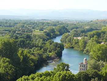
Orb river viewed from Béziers
Tributaries
The following rivers flows into the Orb:
- Jaur 30 kilometres (19 mi)
- Lirou 30 kilometres (19 mi)
- Mare 29 kilometres (18 mi)
- Taurou 25 kilometres (16 mi)
- Vernazobre 24 kilometres (15 mi)
- Rieutort 18 kilometres (11 mi)
- Héric 14 kilometres (9 mi)
References
- ↑ Colin O’Connor: Roman Bridges, Cambridge University Press 1993, ISBN 0-521-39326-4, p. 99
| Wikimedia Commons has media related to Orb River. |