Onego, West Virginia
| Onego | |
|---|---|
| Unincorporated community | |
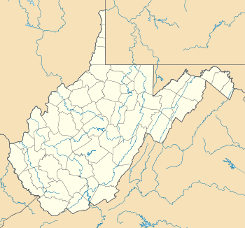
 Onego Location within the state of West Virginia | |
| Coordinates: 38°32′50″N 79°26′43″W / 38.54722°N 79.44528°WCoordinates: 38°32′50″N 79°26′43″W / 38.54722°N 79.44528°W | |
| Country | United States |
| State | West Virginia |
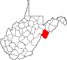
| County | Pendleton |
| Time zone | Eastern (EST) (UTC-5) |
| • Summer (DST) | EDT (UTC-4) |
| GNIS feature ID | 1552388[1] |
Onego is an unincorporated community located along Seneca Creek on U.S. Highway 33 in Pendleton County, West Virginia, USA. Onego lies within the Monongahela National Forest in the Appalachian Mountains, near Seneca Rocks.
References
| |||||||||||||||||||||||||
