Omuthiya
| Omuthiya | |
|---|---|
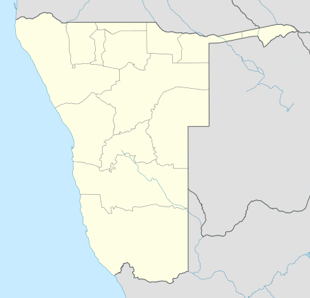 Omuthiya Location in Namibia | |
| Coordinates: 18°21.636′S 16°34.874′E / 18.360600°S 16.581233°E | |
| Country |
|
| Region | Oshikoto Region |
| Elevation | 3,540 ft (1,079 m) |
| Population (2011)[1] | |
| • Total | 3,794 |
| Time zone | South African Standard Time (UTC+1) |
| Climate | Cwa |
Omuthiya Gwiipundi (short: Omuthiya) is the capital of Oshikoto Region in northern Namibia, situated approximately 10 kilometres (6.2 mi) from Etosha National Park. It has about 5,000 residents.[2] Prior to Omuthiya, Tsumeb was the regional capital.[3]
Local authority elections
In February 2008, the town was the center of an election controversy as the ruling SWAPO faced the Rally for Democracy and Progress in the town's first local authority election. [4]
In 2010, SWAPO won Omuthiya with approximately 92% of the votes.[5]
References
- ↑ "Table 4.2.2 Urban population by Census years (2001 and 2011)". Namibia 2011 - Population and Housing Census Main Report. Namibia Statistics Agency. p. 39. Retrieved 10 September 2013.
- ↑ Heita, Desie (31 October 2011). "Omuthiya growing at a fast pace". New Era. Archived from the original on 27 May 2012.
- ↑ Shivute, Oswald (21 August 2008). "Oshikoto Regional Council moves to Omuthiya". The Namibian.
- ↑ Battlefield Omuthiya The Namibian, 28 February 2008
- ↑ Omuthiya Local Authority Electoral Commission of Namibia
Coordinates: 18°21.636′S 16°34.874′E / 18.360600°S 16.581233°E