Ohariu, New Zealand
| Ohariu | |
|---|---|
 Ohariu Ohariu (New Zealand Wellington) | |
| Basic information | |
| Local authority | Wellington City |
| Electoral ward | Northern Ward |
| Land area | 15,193 [1] ha |
| Population | 783 [1] |
| Facilities | |
| Surrounds | |
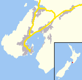
Ohariu is a suburb of Wellington, New Zealand. It is a rural area, located 6 kilometres (3.7 mi) from Johnsonville.[2] The name is a corruption of Owhariu, where, according to Māori mythology, Kupe dried the sails of his canoe.[2] The area is governed by the Makara / Ohariu Community Board.[3]
The name of the locality has given its name to two general electorates: Ōhāriu (first formed for the 1978 election without macrons) and Ohariu-Belmont (which existed from 1996 to 2008).[4]
References
- ↑ 1.0 1.1 "Community profile - Ohariu". Wellington City Council.
- ↑ 2.0 2.1 Reed, A. W. (2010). Peter Dowling, ed. Place Names of New Zealand. Rosedale, North Shore: Raupo. p. 280. ISBN 9780143204107.
- ↑ "Makara / Ohariu Community Board". Wellington City Council. Retrieved 3 October 2014.
- ↑ "Ōhāriu: Electoral Profile" (PDF). Parliamentary Library. September 2014. Retrieved 3 October 2014.
| ||||||||||||||||||||||
Coordinates: 41°12′30″S 174°46′25″E / 41.20833°S 174.77361°E