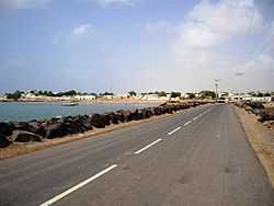
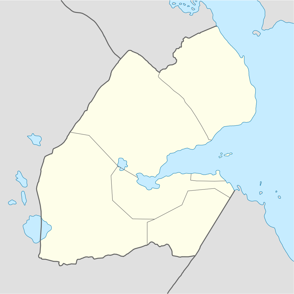
Obock
Coordinates: 11°58′N 43°17′E / 11.967°N 43.283°E
| Obock | |
|---|---|
| Town | |
 | |
 Obock Location in Djibouti | |
| Coordinates: 11°58′N 43°17′E / 11.967°N 43.283°E | |
| Country |
|
| Region | Obock Region |
| Elevation | 13 m (43 ft) |
| Population (2012) | |
| • Total | 21,200 |
Obock (also Obok, Ubuk) is a small port town in Djibouti. It is located on the northern shore of the Gulf of Tadjoura, where it opens out into the Gulf of Aden. The town is home to an airstrip and has ferries to Djibouti City, while mangroves lie nearby. The French form Obock derives from Arabic "Oboh", deformation of Oboki, a name given to the Wadi Dar'i in its middle part, upstream of its coastal delta.
Overview
Obock is located in east of the northern coast of the Gulf of Tadjoura, the door of the Bab el Mandeb Strait and in the north-east of the Republic of Djibouti, 235 km (by road) of Djibouti City.
History
.jpg)
During the Middle Ages, Obock was ruled by the Ifat Sultanate and the Adal Sultanate. The Ottoman Empire still has control over the area from the sixteenth to the nineteenth century. It later formed a part of the French Somaliland protectorate in the first half of the 20th century. Obock was originally significant as the site of the first French colony in the region, established by treaty with the local Afar rulers on March 11, 1862.[1] The French interest was in having a coaling station for steamships, which would become especially important upon the opening of the Suez Canal in 1869. (Up to that time French ships had to buy coal at the British port of Aden across the gulf, an unwise dependency in case of war.) The site is the subject of any occupation, just visited by the ships of the naval division of the Indian Ocean, to the installation of trader Pierre Arnoux in 1881, followed by Paul Soleillet. Obock truly became a colony in 1884, with the arrival in August of Léonce Lagarde who established an administration and extends the possession in the Gulf of Tadjoura, forming the Territory of Obock and outbuildings, with Obock capital. By 1885, Obock had 800 inhabitants and a school. However, the anchorage was more exposed than the site of Djibouti on the south side of the Gulf of Tadjoura, and the colonial administration moved there in 1894. Subsequently the population of Obock declined. [2] Obock remains however, until the occupation of Tadjoura in 1927, the only place on the northern coast of the Gulf of Tadjoura has a colonial administration. It became the capital of the "District Dankali" in 1914, then an administrative position in 1927 disappears when integrated into the "Circle of Adaels" in 1929, but again became 1931 Obock is the capital of a circle responsible for resupply the colony during the Allied blockade from 1941 to 1943, and again a simple administrative position and then become a capital of circle from 1963 to independence in 1977.
Postage stamps
During its time as a French colony, Obock issued its own postage stamps; for more detail see Postage stamps and postal history of Obock.
Climate and Geography
Obock has a dry climate. It is classified as hot and semi-arid (Köppen climate classification BSh). Obock is 13 m above sea level on the plateau of Gazelles ("Dala-h Húgub in Afar") in desert terrain. The sky is always clear and bright throughout the year. [3]
| Climate data for Obock | |||||||||||||
|---|---|---|---|---|---|---|---|---|---|---|---|---|---|
| Month | Jan | Feb | Mar | Apr | May | Jun | Jul | Aug | Sep | Oct | Nov | Dec | Year |
| Average high °C (°F) | 28.9 (84) |
29.0 (84.2) |
30.8 (87.4) |
32.8 (91) |
35.4 (95.7) |
38.6 (101.5) |
41.0 (105.8) |
39.9 (103.8) |
37.0 (98.6) |
33.8 (92.8) |
31.0 (87.8) |
29.5 (85.1) |
33.98 (93.14) |
| Average low °C (°F) | 22.3 (72.1) |
23.3 (73.9) |
24.6 (76.3) |
26.0 (78.8) |
28.2 (82.8) |
30.7 (87.3) |
30.8 (87.4) |
30.1 (86.2) |
30.0 (86) |
26.4 (79.5) |
24.2 (75.6) |
22.7 (72.9) |
26.61 (79.9) |
| Average precipitation mm (inches) | 6 (0.24) |
6 (0.24) |
14 (0.55) |
5 (0.2) |
6 (0.24) |
0 (0) |
5 (0.2) |
6 (0.24) |
4 (0.16) |
7 (0.28) |
14 (0.55) |
10 (0.39) |
83 (3.29) |
| Source: Climate-Data.org, altitude: 13m[3] | |||||||||||||
Sister towns
| Country | Town |
|---|---|
| |
|
| |
|
References
- ↑ Scott's monthly stamp journal. 1 January 1982. p. 5. Retrieved 29 May 2011.
- ↑ "Obok" in the Encyclopædia Britannica 11th ed., Vol. 19, p. 953. 1911.
- ↑ 3.0 3.1 "Climate: Dikhil - Climate graph, Temperature graph, Climate table". Climate-Data.org. Retrieved 30 September 2013.