Novi Travnik
| Novi Travnik Нови Травник | |||
|---|---|---|---|
| Town and Municipality | |||
| |||
 Location of Novi Travnik within Bosnia and Herzegovina. | |||
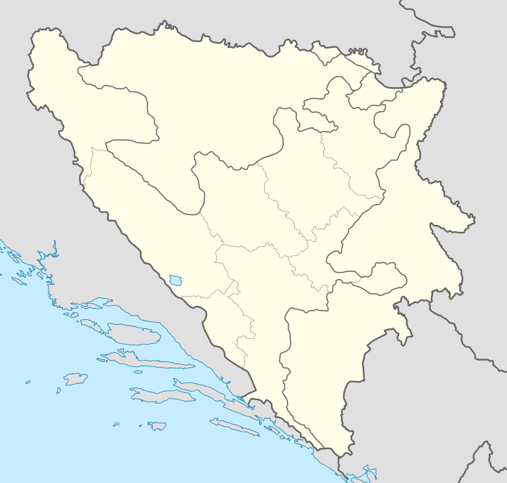 Novi Travnik Location of Novi Travnik | |||
| Coordinates: 44°10′N 17°39′E / 44.167°N 17.650°E | |||
| Country |
| ||
| Government | |||
| • Municipality president | Refik Lendo (SDA) | ||
| Area | |||
| • Total | 242 km2 (93 sq mi) | ||
| Population (2013 census) | |||
| • Total | 25,107 | ||
| • Density | 104/km2 (270/sq mi) | ||
| Time zone | CET (UTC+1) | ||
| • Summer (DST) | CEST (UTC+2) | ||
| Area code(s) | +387 30 | ||
| Website | http://www.ont.gov.ba | ||

Novi Travnik is a town and municipality in central Bosnia and Herzegovina, located south of Travnik on the road to Bugojno. It is under the administration of the Central Bosnia Canton and the Federation of Bosnia and Herzegovina.
Name
The municipality was called Novi Travnik (meaning: The New Travnik) until 1980, when it was styled Pucarevo after Đuro Pucar. In 1992 the former, original name was restored.
History
Novi Travnik was founded in 1949 to provide residence for the employees of the newly founded MMK Bratstvo factory, and so it is one of the youngest settlements in the region. As of January 2015, the municipality contains nine National Monuments of Bosnia and Herzegovina,[1] amongst which are seven stećak necropolises, one mosque and the Necropolis for the victims of Fascism.
Demographics
Municipality of Novi Travnik population in 1991:
Croats 39.59% Bosniaks 37.58% Serbs 13.33% Yugoslavs 6.94% Others 2.26%Novi Travnik, municipality
| Novi Travnik municipality | ||||||
| style="background: bgcolor="#F5DEB3" | census year | style="background: bgcolor="#C2B280" | 2013. | style="background: bgcolor="#C2B280" | 1991. | style="background: bgcolor="#C2B280" | 1981. | style="background: bgcolor="#C2B280" | 1971. | ||
| Croats | 12,162 (39.59%) | 10,548 (40.33%) | 9,852 (43.12%) | |||
| Bosniaks | 11,625 (37.85%) | 9,164 (35.03%) | 8,200 (35.89%) | |||
| Serbs | 4,097 (13.33%) | 3,521 (13.46%) | 4,129 (18.07%) | |||
| Yugoslavs by nat. | 2,132 (6.94%) | 2,308 (8.82%) | 301 (1.31%) | |||
| others and unknown | 697 (2.26%) | 613 (2.34%) | 365 (1.59%) | |||
| style="background: bgcolor="#F5DEB3" |total | 25,107 | 30,713 | 26,154 | 22,847 | ||
Novi Travnik, town itself
| Novi Travnik | ||||||
| style="background: bgcolor="#F5DEB3" | census year | style="background: bgcolor="#C2B280" | 2013. | style="background: bgcolor="#C2B280" | 1991. | style="background: bgcolor="#C2B280" | 1981. | style="background: bgcolor="#C2B280" | 1971. | ||
| Serbs | 3,200 (27.77%) | 2,464 (29.08%) | 2,897 (43.36%) | |||
| Bosniaks | 3,176 (27.56%) | 1,783 (21.04%) | 1,415 (21.17%) | |||
| Croats | 2,751 (23.87%) | 1,985 (23.42%) | 1,778 (26.61%) | |||
| Yugoslavs by nat. | (N/A) | 1,887 (16.37%) | 1,899 (22.41%) | 275 (4.11%) | ||
| others and unknown | 508 (4.40%) | 342 (4.03%) | 316 (4.72%) | |||
| style="background: bgcolor="#F5DEB3" |total | 9,533 | 11,522 | 8,473 | 6,681 | ||
Economy
The Yugoslav Wars and their consequences altered the way and quality of living in Novi Travnik. Economy of Novi Travnik was greatly dependent to the BNT "Bratstvo" factory which was almost completely destroyed during the war, specially after a Serb air attack on 28 February 1994. (see Banja Luka incident). MK "Bratstvo used to employ more than 7,000 people and was the cornerstone of Novi Travnik.
Notable residents
- Marijan Šunjić (1798—1860), born in Bučići (in what is now the Municipality of Novi Travnik) – 19th-century Bosnian Franciscan, Roman Catholic Bishop (Apostolic Vicar in Bosnia), educator. A street in Novi Travnik and the primary school in Stojkovići were named after him.
Notes
Official results of 1991. census:
- Hasan Zolić, odg. ur., Nacionalni sastav stanovništva : rezultati za Republiku po opštinama i naseljenim mjestima 1991., Statistički bilten 234., Državni zavod za statistiku Republike Bosne i Hercegovine, Sarajevo, prosinca 1993. (URL)
- internetski izvor, "Popis po mjesnim zajednicama" - http://www.fzs.ba/Podaci/nacion%20po%20mjesnim.pdf
External links
- http://www.novitravnik.info - Najsvježiji izvor informacija o Novom Travniku
- http://www.novitravnik.org/ by Siba's Friends and Relatives Worldwide
- http://novitravnik.ca/
- Court of Novi Travnik
- Siba's Novi Travnik Homepage
| ||||||||
Coordinates: 44°10′N 17°39′E / 44.167°N 17.650°E
| Wikimedia Commons has media related to Novi Travnik. |