North Roe
| North Roe | |
.jpg) Muckle Ayre at North Roe |
|
 North Roe |
|
| OS grid reference | HU364896 |
|---|---|
| Civil parish | Northmaven |
| Council area | Shetland |
| Lieutenancy area | Shetland |
| Country | Scotland |
| Sovereign state | United Kingdom |
| Post town | SHETLAND |
| Postcode district | ZE2 9 |
| Dialling code | 01595 |
| Police | Scottish |
| Fire | Scottish |
| Ambulance | Scottish |
| EU Parliament | Scotland |
| UK Parliament | Orkney and Shetland |
| Scottish Parliament | Shetland |
Coordinates: 60°35′20″N 1°20′02″W / 60.589°N 1.334°W
| Designations | |
|---|---|
| Official name | Ronas Hill-North Roe & Tingon |
| Designated | 11 August 1997 |
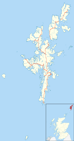
North Roe is a village, and protected area at the northern tip in the large Northmavine peninsula of the Mainland of Shetland, Scotland. It is a small village, with a school with less than a dozen pupils in 2011.[1] The moorland plateau to the south-west of the settlement is part of the Ronas Hill-North Roe and Tingon internationally recognised wetland site, protected under the terms of the Ramsar Convention on Wetlands.[2][3][4] and also a Special Protection Area under the Birds Directive The village is served by the A970 road which runs the length of the Shetland mainland from south to north and is a single-carriageway for the final nine miles.
References
- ↑ "North Roe Primary School". northroe.shetland.sch.uk. Retrieved 22 February 2011.
- ↑ "The Annotated Ramsar List: United Kingdom". The Ramsar Convention on Wetlands. 5 September 2009. Archived from the original on 7 January 2013. Retrieved 13 October 2011.
- ↑ "Designated and Proposed Ramsar sites in Scotland". Joint Nature Conservation Committee. Retrieved 13 October 2011.
- ↑ "RAMSAR sites". Scottish Natural Heritage. Retrieved 13 October 2011.
External links
| Wikimedia Commons has media related to North Roe. |